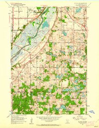
1951 Map of St. Paul SW
USGS Topo · Published 1962About this map
The Minnesota River carves a wide, marshy valley through the heart of this landscape, separating the developing Village of Richfield and Bloomington from the rural expanses of Eagan and Burnsville. In the north, the massive Fort Snelling Reservation and its adjacent Fort Snelling National Cemetery dominate the high ground near the river's bend. This mid-century view shows a region on the cusp of suburban transformation, where traditional rural markers like School No 104 and the settlement at Nicols still persist alongside major infrastructure like the Cedar Ave Bridge and the sprawling Power Plant on the riverbank.
Find a feature on this map
37 named features on this map. Tap any name to fly to it.
Don’t see what you’re looking for? This feature index may not catch every label — zoom into the map to look around manually.
Map Details
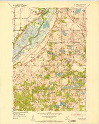
Editions of this 1951 St. Paul SW Map
3 editions found
Other maps of this area

1896 · Minneapolis
USGS Topo · 1:62,500

1896 · St. Paul
USGS Topo · 1:62,500

1901 · Minneapolis
USGS Topo · 1:62,500

1951 · St. Paul West
USGS Topo · 1:24,000

1951 · Inver Grove
USGS Topo · 1:24,000

1951 · St. Paul SW
USGS Topo · 1:24,000

1951 · St. Paul East
USGS Topo · 1:24,000

1951 · St. Paul
USGS Topo · 1:62,500

1952 · Minneapolis South
USGS Topo · 1:24,000

1953 · Saint Paul
USGS Topo · 1:250,000