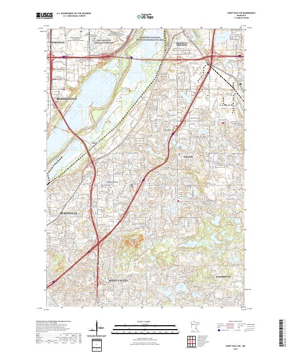
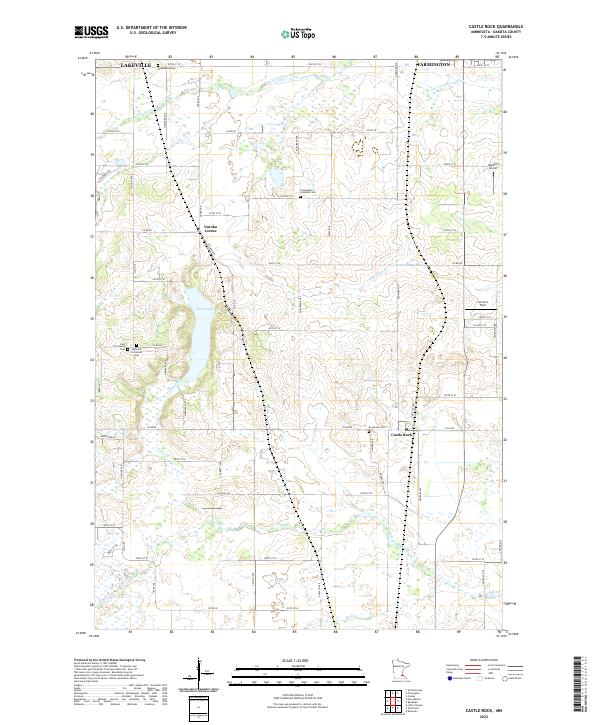
2022 Map of Saint Paul SW
USGS Topo · Published 2022About this map
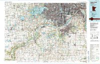
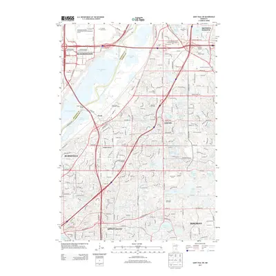
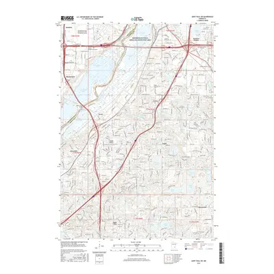
The confluence of the Minnesota River and the Mississippi River anchors this detailed study of the south-central Twin Cities suburbs in 2022. The landscape is defined by the expansive Minnesota Valley National Wildlife Refuge, which protects a corridor of wetlands and lakes including Long Meadow Lake and Black Dog Lake. This natural belt separates the dense urban development of Bloomington and Richfield to the northwest from the rapidly growing communities of Eagan, Burnsville, and Apple Valley to the south.
Find a feature on this map
65 named features on this map. Tap any name to fly to it.
Don’t see what you’re looking for? This feature index may not catch every label — zoom into the map to look around manually.
Map Details
Editions of this 2022 Saint Paul SW Map
This is the sole edition of this map. No revisions or reprints were ever made.
Historical Maps of Bloomington Through Time
21 maps found
1951 Inver Grove
Dakota County, MN
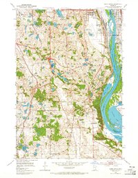
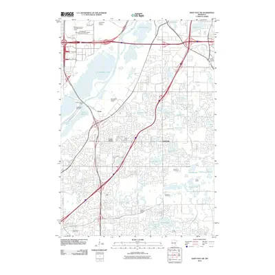
1951 St. Paul SW
Dakota County, MN
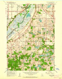
1967 Saint Paul SW
Dakota County, MN
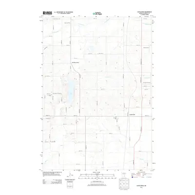
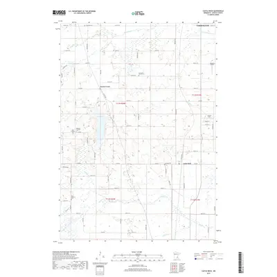
1974 Castle Rock
Dakota County, MN
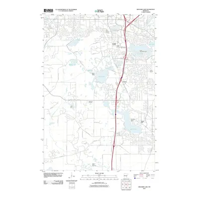
1974 Orchard Lake
Dakota County, MN
1985 Saint Paul
Dakota County, MN
2010 Castle Rock
Dakota County, MN
2010 Orchard Lake
Dakota County, MN
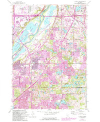
2010 Saint Paul SW
Dakota County, MN
2013 Castle Rock
Dakota County, MN
2013 Orchard Lake
Dakota County, MN
2013 Saint Paul SW
Dakota County, MN
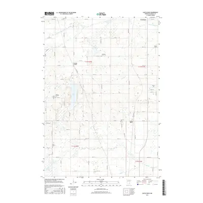
2016 Castle Rock
Dakota County, MN
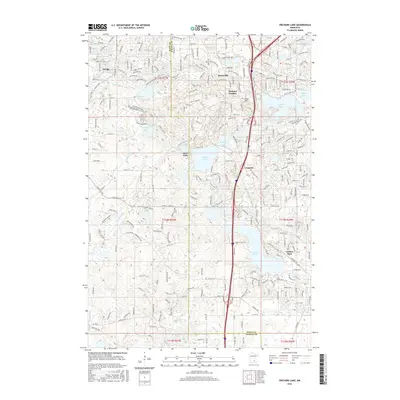
2016 Orchard Lake
Dakota County, MN
2016 Saint Paul SW
Dakota County, MN
2019 Castle Rock
Dakota County, MN
2019 Orchard Lake
Dakota County, MN
2019 Saint Paul SW
Dakota County, MN
2022 Castle Rock
Dakota County, MN
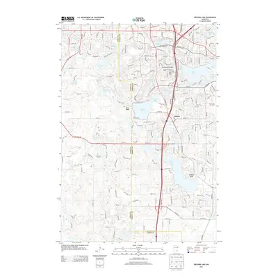
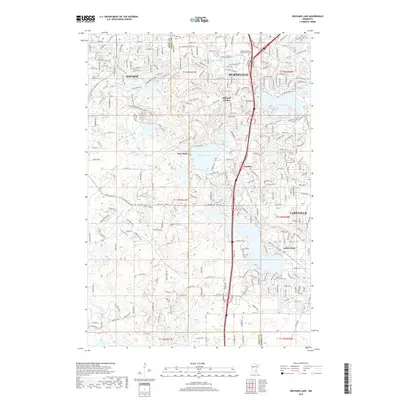
2022 Orchard Lake
Dakota County, MN
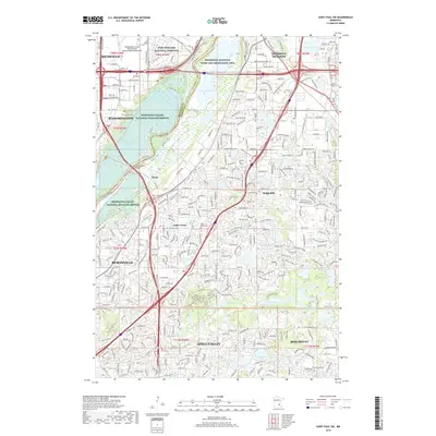
2022 Saint Paul SW
Dakota County, MN