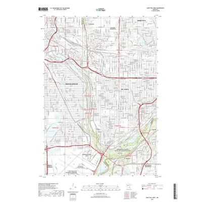
2019 Map of Saint Paul West
USGS Topo · Published 2019About this map
The confluence of the Mississippi River and the Minnesota River serves as the focal point for this urban landscape, where the borders of Hennepin, Ramsey, and Dakota counties meet. At the heart of this junction lies Pike Island and the grounds of the Fort Snelling National Cemetery, situated just south of the dense residential grids of Minneapolis and St. Paul. The map documents a territory defined by its water and public spaces, from the cascade of Minnehaha Falls and the recreational shores of Lake Nokomis to the parkland within the Mississippi National River and Recreation Area.
Find a feature on this map
42 named features on this map. Tap any name to fly to it.
Don’t see what you’re looking for? This feature index may not catch every label — zoom into the map to look around manually.
Map Details
Editions of this 2019 Saint Paul West Map
This is the sole edition of this map. No revisions or reprints were ever made.
Other maps of this area

1896 · Minneapolis
USGS Topo · 1:62,500

1896 · St. Paul
USGS Topo · 1:62,500

1901 · Minneapolis
USGS Topo · 1:62,500

1902 · White Bear
USGS Topo · 1:62,500

1902 · Anoka
USGS Topo · 1:62,500

1951 · St. Paul West
USGS Topo · 1:24,000

1951 · Inver Grove
USGS Topo · 1:24,000

1951 · St. Paul SW
USGS Topo · 1:24,000

1951 · St. Paul East
USGS Topo · 1:24,000

1951 · St. Paul
USGS Topo · 1:62,500