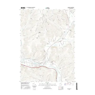
2016 Map of Salamanca
USGS Topo · Published 2016About this map
The Allegheny River valley and its surrounding high ridges define this section of Cattaraugus County, centered on the city of Salamanca. The landscape is a complex mix of urban riverfront development and extensive recreational trail networks, including the N Country National Scenic Trail and specialized paths like the Middle Pale Ale Trail or Yukon's Lunch. Significant landmarks such as Palmers Island and the Great Valley Airport sit within the drainage basin of Great Valley Creek, which joins the river south of Kill Buck.
Find a feature on this map
125 named features on this map. Tap any name to fly to it.
Don’t see what you’re looking for? This feature index may not catch every label — zoom into the map to look around manually.
Map Details
Editions of this 2016 Salamanca Map
This is the sole edition of this map. No revisions or reprints were ever made.
Other maps of this area

1900 · Salamanca
USGS Topo · 1:62,500

1922 · Randolph
USGS Topo · 1:62,500

1923 · Randolph
USGS Topo · 1:62,500

1923 · Cattaraugus
USGS Topo · 1:62,500

1924 · Ellicottville
USGS Topo · 1:62,500

1938 · Cattaraugus
USGS Topo · 1:62,500

1938 · Salamanca
USGS Topo · 1:62,500

1941 · Cattaraugus
USGS Topo · 1:62,500

1941 · Ellicottville
USGS Topo · 1:62,500

1943 · Randolph
USGS Topo · 1:62,500