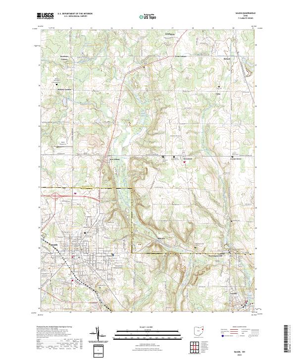
2023 Map of Salem
USGS Topo · Published 2023About this map
Salem anchors this corner of Ohio, where the intersection of Salem Warren Rd and Youngstown Salem Rd defines the local transit network. The landscape is marked by the winding course of the Middle Fork Little Beaver Creek and its various tributaries like Cherry Valley Run and Stone Mill Run. This survey highlights the complex of small communities and named intersections—including New Albany, Greenford, and Washingtonville—that characterize the rural and suburban interface between Mahoning and Columbiana counties.
Find a feature on this map
144 named features on this map. Tap any name to fly to it.
Don’t see what you’re looking for? This feature index may not catch every label — zoom into the map to look around manually.
Map Details
Editions of this 2023 Salem Map
This is the sole edition of this map. No revisions or reprints were ever made.
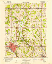
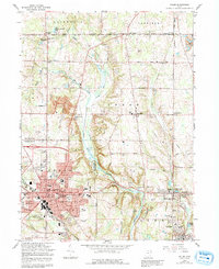
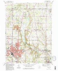
Historical Maps of Calla Through Time
4 maps found