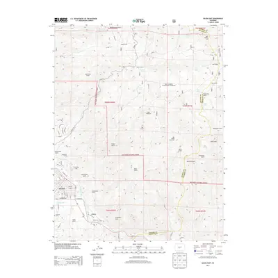
2013 Map of Salida East
USGS Topo · Published 2013About this map
The Arkansas River carves a path through the valley at Salida, where the town's street grid meets the rising slopes of the San Isabel National Forest. This high-altitude landscape is defined by the sharp transition from the residential blocks of Salida to the steep gulches and peaks that dominate the horizon. Notable landmarks like Tenderfoot Hill overlook the settlement, while the river basin serves as a corridor for Us 50 E and historical routes through the canyon.
Find a feature on this map
87 named features on this map. Tap any name to fly to it.
Don’t see what you’re looking for? This feature index may not catch every label — zoom into the map to look around manually.
Map Details
Editions of this 2013 Salida East Map
This is the sole edition of this map. No revisions or reprints were ever made.
Other maps of this area

1954 · Pueblo
USGS Topo · 1:250,000

1956 · Cameron Mountain
USGS Topo · 1:62,500

1956 · Poncha Springs
USGS Topo · 1:62,500

1956 · Montrose
USGS Topo · 1:250,000

1957 · Pueblo
USGS Topo · 1:250,000

1958 · Pueblo
USGS Topo · 1:250,000

1959 · Montrose
USGS Topo · 1:250,000

1959 · Bonanza
USGS Topo · 1:62,500

1959 · Howard
USGS Topo · 1:62,500

1960 · Montrose
USGS Topo · 1:250,000