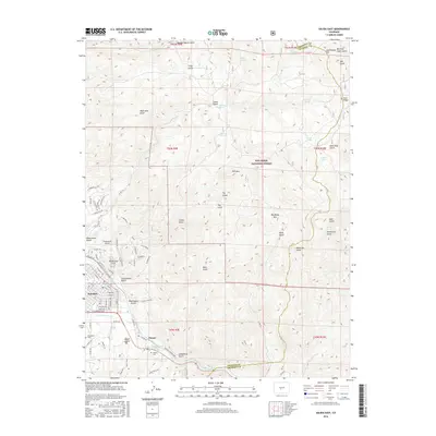
2016 Map of Salida East
USGS Topo · Published 2016About this map
The Arkansas River corridor serves as the primary artery of development on this 2016 survey, where the river winds southeast from Salida toward the small settlement of Cleora. The transition from the urban grid of Salida, featuring streets like E Rainbow Blvd and Park Ave, to the more dispersed homesteads near the San Isabel National Forest is clearly visible. Genealogists will find the Woodlawn Cem and Cleora Cem as key points of interest for local family history research.
Find a feature on this map
89 named features on this map. Tap any name to fly to it.
Don’t see what you’re looking for? This feature index may not catch every label — zoom into the map to look around manually.
Map Details
Editions of this 2016 Salida East Map
This is the sole edition of this map. No revisions or reprints were ever made.
Other maps of this area

1954 · Pueblo
USGS Topo · 1:250,000

1956 · Cameron Mountain
USGS Topo · 1:62,500

1956 · Poncha Springs
USGS Topo · 1:62,500

1956 · Montrose
USGS Topo · 1:250,000

1957 · Pueblo
USGS Topo · 1:250,000

1958 · Pueblo
USGS Topo · 1:250,000

1959 · Montrose
USGS Topo · 1:250,000

1959 · Bonanza
USGS Topo · 1:62,500

1959 · Howard
USGS Topo · 1:62,500

1960 · Montrose
USGS Topo · 1:250,000