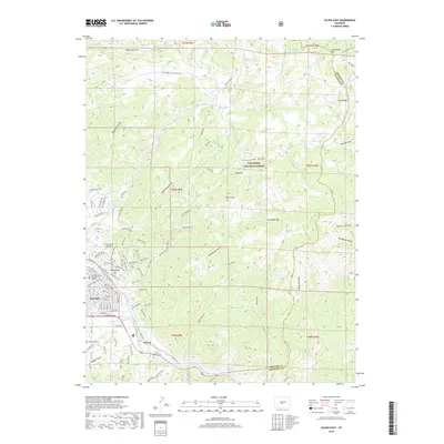
2019 Map of Salida East
USGS Topo · Published 2019About this map
The Arkansas River carves a path through this high-altitude landscape, anchoring the development of Salida and the nearby settlement of Cleora. In the late 2010s, this area reflects a transition from traditional mountain industry to modern recreation, evidenced by an extensive network of footpaths like the Monarch Spur Trail, Burnpile Trail, and Jalapeño Trail. Steep drainages such as Cottonwood Gulch and Longfellow Gulch descend from the peaks of the San Isabel National Forest, including the prominent heights of Big Baldy Mtn and Tenderfoot Hill. Local genealogy is well-served by the presence of Woodlawn Cemetery and Cleora Cemetery. Beyond the municipal limits, the landscape is defined by its dramatic relief, featuring landmarks like The Crater and the rugged Loco Ridge, while Dodsworth Airport serves as a small aviation hub for the valley.
Find a feature on this map
102 named features on this map. Tap any name to fly to it.
Don’t see what you’re looking for? This feature index may not catch every label — zoom into the map to look around manually.
Map Details
Editions of this 2019 Salida East Map
This is the sole edition of this map. No revisions or reprints were ever made.
Other maps of this area

1954 · Pueblo
USGS Topo · 1:250,000

1956 · Cameron Mountain
USGS Topo · 1:62,500

1956 · Poncha Springs
USGS Topo · 1:62,500

1956 · Montrose
USGS Topo · 1:250,000

1957 · Pueblo
USGS Topo · 1:250,000

1958 · Pueblo
USGS Topo · 1:250,000

1959 · Montrose
USGS Topo · 1:250,000

1959 · Bonanza
USGS Topo · 1:62,500

1959 · Howard
USGS Topo · 1:62,500

1960 · Montrose
USGS Topo · 1:250,000