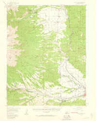
1983 Map of Salida East
USGS Topo · Published 1983About this map
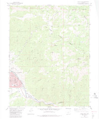
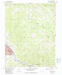
The Arkansas River valley serves as the focal point for this mountain landscape, where the city of Salida is depicted during a period of established growth. To the southeast, the historic site of Cleora sits near the tracks of the Denver and Rio Grande Western railroad, illustrating the importance of rail transport to the region's industrial past. The civic heart of the area is noted by the Courthouse and educational landmarks like St Joseph Sch and Longfellow Sch.
Find a feature on this map
58 named features on this map. Tap any name to fly to it.
Don’t see what you’re looking for? This feature index may not catch every label — zoom into the map to look around manually.
Map Details
Editions of this 1983 Salida East Map
3 editions found
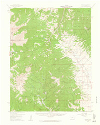
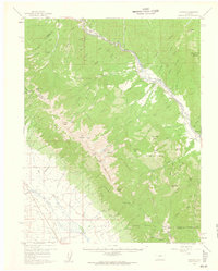
Other maps of this area

1954 · Pueblo
USGS Topo · 1:250,000
1956 · Cameron Mountain
USGS Topo · 1:62,500
1956 · Poncha Springs
USGS Topo · 1:62,500

1956 · Montrose
USGS Topo · 1:250,000

1957 · Pueblo
USGS Topo · 1:250,000

1958 · Pueblo
USGS Topo · 1:250,000

1959 · Montrose
USGS Topo · 1:250,000
1959 · Bonanza
USGS Topo · 1:62,500
1959 · Howard
USGS Topo · 1:62,500

1960 · Montrose
USGS Topo · 1:250,000