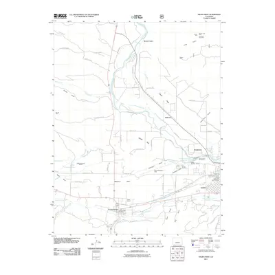
2011 Map of Salida West
USGS Topo · Published 2011About this map
Arkansas River and South Arkansas River define the local hydrology, feeding a complex network of irrigation systems including the Salida Ditch, Harrington Ditch, and Murry Ditch. This web of water management supports the agricultural character of Missouri Park and Adobe Park, while industrial history is evident in the cluster of mining and quarrying operations on the eastern edge. Operations such as the Aksarben Mine and Colorado Granite Quarry sit near the settlement of Smeltertown, marking the area's long-standing reliance on extraction.
Find a feature on this map
90 named features on this map. Tap any name to fly to it.
Don’t see what you’re looking for? This feature index may not catch every label — zoom into the map to look around manually.
Map Details
Editions of this 2011 Salida West Map
This is the sole edition of this map. No revisions or reprints were ever made.
Other maps of this area

1954 · Pueblo
USGS Topo · 1:250,000

1956 · Cameron Mountain
USGS Topo · 1:62,500

1956 · Poncha Springs
USGS Topo · 1:62,500

1956 · Montrose
USGS Topo · 1:250,000

1957 · Pueblo
USGS Topo · 1:250,000

1958 · Pueblo
USGS Topo · 1:250,000

1959 · Montrose
USGS Topo · 1:250,000

1959 · Bonanza
USGS Topo · 1:62,500

1959 · Howard
USGS Topo · 1:62,500

1960 · Montrose
USGS Topo · 1:250,000