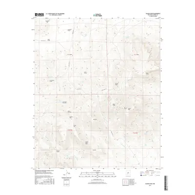
2017 Map of Salinas Peak
USGS Topo · Published 2017About this map
The San Andres Mountains dominate this high-desert landscape in Sierra County, where vertical relief is defined by prominent summits like Salinas Peak and White Mine Peak. The terrain is characterized by a network of drainage canyons and scattered water sources essential for survival in this arid environment, including Indian Wells and Brady Spring. Strategic ridges and divides, such as Indian Divide and Camels Hump Ridge, separate deep geological cuts like Grapevine Canyon and Thurgood Canyon.
Find a feature on this map
39 named features on this map. Tap any name to fly to it.
Don’t see what you’re looking for? This feature index may not catch every label — zoom into the map to look around manually.
Map Details
Editions of this 2017 Salinas Peak Map
This is the sole edition of this map. No revisions or reprints were ever made.
Other maps of this area

1916 · Salinas Peak
USGS Topo · 1:125,000

1916 · Tularosa
USGS Topo · 1:125,000

1947 · Capitol Peak
USGS Topo · 1:62,500

1948 · Black Top Mountain
USGS Topo · 1:62,500

1948 · Salinas Peak
USGS Topo · 1:62,500

1948 · Lumley Lake
USGS Topo · 1:62,500

1954 · Tularosa
USGS Topo · 1:250,000

1958 · Tularosa
USGS Topo · 1:250,000

1981 · Big Gyp Mountain
USGS Topo · 1:24,000

1981 · Fairview Mountain
USGS Topo · 1:24,000