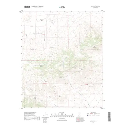
2023 Map of Salinas Peak
USGS Topo · Published 2023About this map
The White Sands Missile Range dominates this landscape within the San Andres Mountains, reflecting the specialized land use that has defined this part of New Mexico for decades. This high-elevation terrain is centered on Salinas Peak and its surrounding summits, including White Mine Peak, Ladybug Peak, and Silver Top Mountain. The presence of numerous water sources such as Indian Wells, Eagle Pass Spring, and Dripping Spring highlights the critical infrastructure required for survival and operations in this arid environment.
Find a feature on this map
41 named features on this map. Tap any name to fly to it.
Don’t see what you’re looking for? This feature index may not catch every label — zoom into the map to look around manually.
Map Details
Editions of this 2023 Salinas Peak Map
This is the sole edition of this map. No revisions or reprints were ever made.
Other maps of this area

1916 · Salinas Peak
USGS Topo · 1:125,000

1916 · Tularosa
USGS Topo · 1:125,000

1947 · Capitol Peak
USGS Topo · 1:62,500

1948 · Black Top Mountain
USGS Topo · 1:62,500

1948 · Salinas Peak
USGS Topo · 1:62,500

1948 · Lumley Lake
USGS Topo · 1:62,500

1954 · Tularosa
USGS Topo · 1:250,000

1958 · Tularosa
USGS Topo · 1:250,000

1981 · Big Gyp Mountain
USGS Topo · 1:24,000

1981 · Fairview Mountain
USGS Topo · 1:24,000