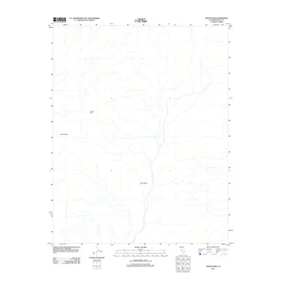
2012 Map of Saline Peak
USGS Topo · Published 2012About this map
Saline Peak stands as the central landmark in this high-desert region of Inyo County, overlooking a landscape defined by dramatic elevation changes. The 2012 survey illustrates the topographic relationship between the Saline Range to the west and the broad expanse of Saline Valley to the east. This area is characterized by its isolation and lack of developed infrastructure, reflecting the primitive state of the basin-and-range province in eastern California. The map serves as a record of natural drainage patterns and landforms in a territory where water and terrain dictate all movement, providing a clear view of the mountain and valley systems before any significant modern encroachment.
Find a feature on this map
3 named features on this map. Tap any name to fly to it.
Don’t see what you’re looking for? This feature index may not catch every label — zoom into the map to look around manually.
Map Details
Editions of this 2012 Saline Peak Map
This is the sole edition of this map. No revisions or reprints were ever made.
Other maps of this area

1908 · Lida
USGS Topo · 1:250,000

1908 · Ballarat
USGS Topo · 1:250,000

1913 · Lida
USGS Topo · 1:250,000

1913 · Ballarat
USGS Topo · 1:250,000

1948 · Death Valley
USGS Topo · 1:250,000

1951 · Waucoba Wash
USGS Topo · 1:62,500

1954 · Death Valley
USGS Topo · 1:250,000

1954 · Goldfield
USGS Topo · 1:250,000

1955 · Goldfield
USGS Topo · 1:250,000

1956 · Death Valley
USGS Topo · 1:250,000