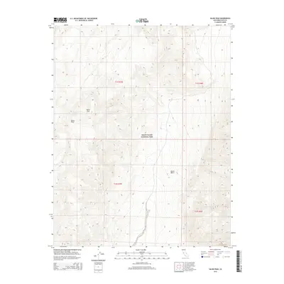
2015 Map of Saline Peak
USGS Topo · Published 2015About this map
Death Valley National Park dominates this high-altitude landscape in Inyo County, showcasing the dramatic elevation changes characteristic of the northern Mojave Desert. The map is anchored by the Saline Peak summit and the surrounding ridges of the Saline Range, where intricate contour lines reveal a complex network of canyons and ridgelines. This 2015 survey provides a precise look at the wilderness boundaries and legal subdivisions within the national park, including the intersections of townships t11s r39e and t12s r40e. For those studying the arid geography of eastern California, this sheet serves as a definitive guide to the remote terrain between the Saline and Eureka valleys.
Find a feature on this map
8 named features on this map. Tap any name to fly to it.
Don’t see what you’re looking for? This feature index may not catch every label — zoom into the map to look around manually.
Map Details
Editions of this 2015 Saline Peak Map
This is the sole edition of this map. No revisions or reprints were ever made.
Other maps of this area

1908 · Lida
USGS Topo · 1:250,000

1908 · Ballarat
USGS Topo · 1:250,000

1913 · Lida
USGS Topo · 1:250,000

1913 · Ballarat
USGS Topo · 1:250,000

1948 · Death Valley
USGS Topo · 1:250,000

1951 · Waucoba Wash
USGS Topo · 1:62,500

1954 · Death Valley
USGS Topo · 1:250,000

1954 · Goldfield
USGS Topo · 1:250,000

1955 · Goldfield
USGS Topo · 1:250,000

1956 · Death Valley
USGS Topo · 1:250,000