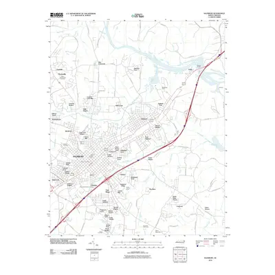
2010 Map of Salisbury
USGS Topo · Published 2010About this map
Salisbury anchors this detailed study of the Rowan County landscape, where the urban center meets the sweeping curve of the Yadkin River. The map reveals a high concentration of burial grounds critical for family history research, including the Old English Cemetery, Chestnut Hill Cemetery, and Dixonville Cemetery. The river corridor is defined by infrastructure like Beards Bridge and Messinger Dam, while the surrounding terrain rises toward Dunn Mountain in the southeast.
Find a feature on this map
111 named features on this map. Tap any name to fly to it.
Don’t see what you’re looking for? This feature index may not catch every label — zoom into the map to look around manually.
Map Details
Editions of this 2010 Salisbury Map
This is the sole edition of this map. No revisions or reprints were ever made.
Other maps of this area

1893 · Statesville
USGS Topo · 1:125,000

1950 · Lexington West
USGS Topo · 1:24,000

1950 · Churchland
USGS Topo · 1:24,000

1951 · Churchland
USGS Topo · 1:24,000

1951 · Lexington West
USGS Topo · 1:24,000

1953 · Charlotte
USGS Topo · 1:250,000

1954 · Charlotte
USGS Topo · 1:250,000

1960 · Charlotte
USGS Topo · 1:250,000

1962 · Charlotte
USGS Topo · 1:250,000

1962 · Southmont
USGS Topo · 1:24,000