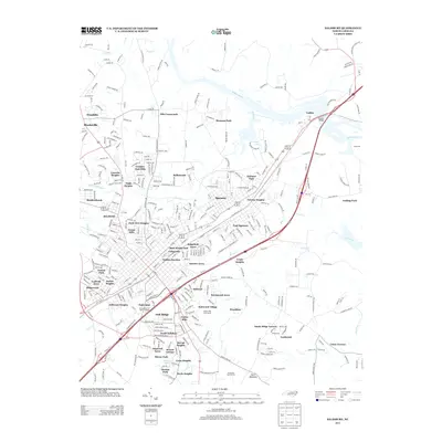
2013 Map of Salisbury
USGS Topo · Published 2013About this map
Spencer and East Spencer anchor the central portion of this survey, illustrating the dense suburban development east of the Yadkin River. The terrain is defined by the winding paths of Grants Cr and Crane Cr, which weave through numerous named residential subdivisions and neighborhoods. Significant landmarks such as Dunn Mountain and the Corbin Hills Golf Course highlight the varied land use of the region, ranging from natural elevations to managed recreational spaces.
Find a feature on this map
356 named features on this map. Tap any name to fly to it.
Don’t see what you’re looking for? This feature index may not catch every label — zoom into the map to look around manually.
Map Details
Editions of this 2013 Salisbury Map
This is the sole edition of this map. No revisions or reprints were ever made.
Other maps of this area

1893 · Statesville
USGS Topo · 1:125,000

1950 · Lexington West
USGS Topo · 1:24,000

1950 · Churchland
USGS Topo · 1:24,000

1951 · Churchland
USGS Topo · 1:24,000

1951 · Lexington West
USGS Topo · 1:24,000

1953 · Charlotte
USGS Topo · 1:250,000

1954 · Charlotte
USGS Topo · 1:250,000

1960 · Charlotte
USGS Topo · 1:250,000

1962 · Charlotte
USGS Topo · 1:250,000

1962 · Southmont
USGS Topo · 1:24,000