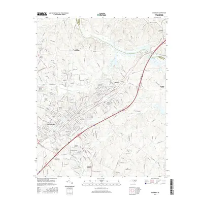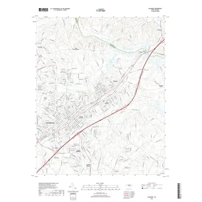
1977 Map of Salisbury
USGS Topo · Published 1980About this map
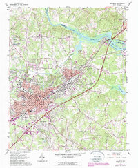
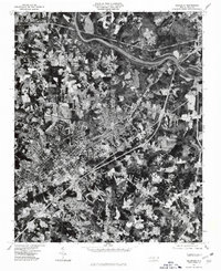
Salisbury anchors this orthophotoquad, which uses 1977 aerial photography to reveal the urban and suburban expansion of Rowan County during the late 1970s. The dense street grid of the city contrasts with the emerging developments at Ellis Crossroads and the more dispersed residential clusters of Franklin. The landscape is physically defined by the winding course of the Yadkin River and the northwestern reaches of High Rock Lake, which influence the local drainage patterns and land use. Small-scale industrial sites and sprawling transit corridors are visible as they cut through the Piedmont terrain, particularly where Grants Creek passes through the settled areas toward the river. This aerial perspective is especially useful for identifying specific building footprints and cleared land that standard topographic symbols often generalize, documenting the exact state of the Lakeview vicinity and the surrounding rural-to-urban transition.
Find a feature on this map
7 named features on this map. Tap any name to fly to it.
Don’t see what you’re looking for? This feature index may not catch every label — zoom into the map to look around manually.
Map Details
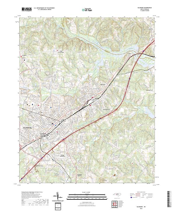
Editions of this 1977 Salisbury Map
This is the sole edition of this map. No revisions or reprints were ever made.
Historical Maps of Salisbury Through Time
8 maps found