
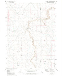
1979 Map of Salls Crossing
USGS Topo · Published 1980About this map
Salls Crossing and Smith Crossing mark critical points across the waterways of this high plateau in Owyhee County. The landscape is defined by the deep incision of the Bruneau Creek Canyon and the expansive Inside Desert to the west. This 1970s survey illustrates a remote ranching and grazing environment where water management is paramount, evidenced by several scattered impoundments like Shirk Reservoir, Grassy Hills Reservoir, and 71 Draw Res.
Find a feature on this map
20 named features on this map. Tap any name to fly to it.
Don’t see what you’re looking for? This feature index may not catch every label — zoom into the map to look around manually.
Map Details
Editions of this 1979 Salls Crossing Map
This is the sole edition of this map. No revisions or reprints were ever made.
Other maps of this area

1955 · Twin Falls
USGS Topo · 1:250,000

1958 · Twin Falls
USGS Topo · 1:250,000

1979 · Mosquito Lake Butte
USGS Topo · 1:24,000
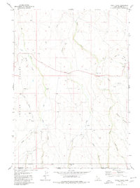
1979 · Three Creek
USGS Topo · 1:24,000
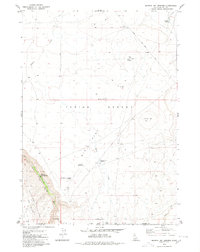
1979 · Murphy Hot Springs
USGS Topo · 1:24,000

1979 · Coonskin Butte
USGS Topo · 1:24,000

1980 · Juniper Butte
USGS Topo · 1:24,000
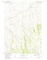
1980 · Curtis Draw
USGS Topo · 1:24,000
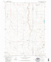
1980 · Grassy Hills
USGS Topo · 1:24,000
1980 · Big Bend Crossing
USGS Topo · 1:24,000