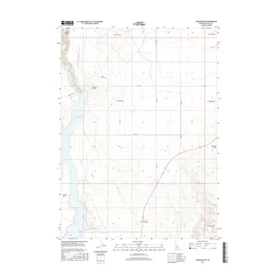
2017 Map of Salmon Butte
USGS Topo · Published 2017About this map
Salmon Falls Cr Reservoir dominates the western edge of this Twin Falls County landscape, where the waters of Salmon Falls Cr are harnessed for the region's agricultural infrastructure. The map reveals a complex network of irrigation features, including the Main Canal and A Lateral, which support the high desert plateau. Rising above the water and fields, Salmon Butte serves as a prominent local landmark, situated north of the expansive Browns Bench formation.
Find a feature on this map
21 named features on this map. Tap any name to fly to it.
Don’t see what you’re looking for? This feature index may not catch every label — zoom into the map to look around manually.
Map Details
Editions of this 2017 Salmon Butte Map
This is the sole edition of this map. No revisions or reprints were ever made.
Other maps of this area

1955 · Twin Falls
USGS Topo · 1:250,000

1958 · Twin Falls
USGS Topo · 1:250,000

1965 · Hollister SW
USGS Topo · 1:24,000

1965 · Roseworth SE
USGS Topo · 1:24,000

1965 · Hollister
USGS Topo · 1:24,000

1977 · Browns Bench South
USGS Topo · 1:24,000

1977 · Rogerson
USGS Topo · 1:24,000

1977 · Magic Hot Springs
USGS Topo · 1:24,000

1977 · Salmon Butte
USGS Topo · 1:24,000

1978 · Browns Bench North
USGS Topo · 1:24,000