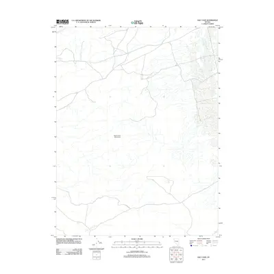
2011 Map of Salt Cave
USGS Topo · Published 2011About this map
The Dead Camel Mountains dominate this high-desert landscape in northern Nevada, providing a stark topographical backdrop to a sparsely developed region. This area is characterized by an extensive network of ephemeral drainages and dry washes that carve through the arid terrain, illustrating the natural drainage patterns that define the Great Basin's geomorphology. Human presence is centered on the historic Simpson Rd, a corridor that traces its roots through this remote expanse. The layout of the land reflects a period of modern geospatial monitoring, with the 2011 survey highlighting the enduring emptiness of these desert ranges where traditional roads and natural features remain the primary landmarks.
Find a feature on this map
2 named features on this map. Tap any name to fly to it.
Don’t see what you’re looking for? This feature index may not catch every label — zoom into the map to look around manually.
Map Details
Editions of this 2011 Salt Cave Map
This is the sole edition of this map. No revisions or reprints were ever made.
Other maps of this area

1891 · Wabuska
USGS Topo · 1:125,000

1894 · Wabuska
USGS Topo · 1:125,000

1908 · Carson Sink
USGS Topo · 1:250,000

1910 · Carson Sink
USGS Topo · 1:250,000

1951 · Weber Reservoir
USGS Topo · 1:62,500

1951 · Fallon
USGS Topo · 1:62,500

1957 · Wabuska
USGS Topo · 1:62,500

1957 · Silver Springs
USGS Topo · 1:62,500

1957 · Reno
USGS Topo · 1:250,000

1959 · Reno
USGS Topo · 1:250,000