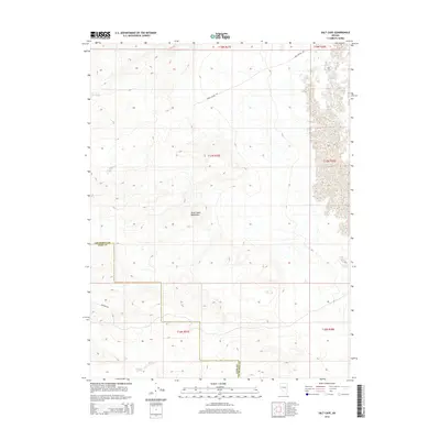
2014 Map of Salt Cave
USGS Topo · Published 2014About this map
The Dead Camel Mountains dominate the central landscape of this Great Basin survey, which straddles the boundary between Lyon Co and Churchill Co. The terrain is characterized by intricate contour patterns and numerous dry washes, illustrating the arid hydrology of the high desert. Settlement remains minimal, with human impact primarily visible through a sparse network of desert roads. Historic travel corridors and access routes are represented by Sand Canyon Rd in the north and Simpson Rd in the southwest, likely serving as modern remnants of early paths through the desert. The map provides a precise look at the township and range system, including t17n r27e and t16n r28e, which define the administrative geography of this unpopulated section of the Nevada desert.
Find a feature on this map
11 named features on this map. Tap any name to fly to it.
Don’t see what you’re looking for? This feature index may not catch every label — zoom into the map to look around manually.
Map Details
Editions of this 2014 Salt Cave Map
This is the sole edition of this map. No revisions or reprints were ever made.
Other maps of this area

1891 · Wabuska
USGS Topo · 1:125,000

1894 · Wabuska
USGS Topo · 1:125,000

1908 · Carson Sink
USGS Topo · 1:250,000

1910 · Carson Sink
USGS Topo · 1:250,000

1951 · Weber Reservoir
USGS Topo · 1:62,500

1951 · Fallon
USGS Topo · 1:62,500

1957 · Wabuska
USGS Topo · 1:62,500

1957 · Silver Springs
USGS Topo · 1:62,500

1957 · Reno
USGS Topo · 1:250,000

1959 · Reno
USGS Topo · 1:250,000