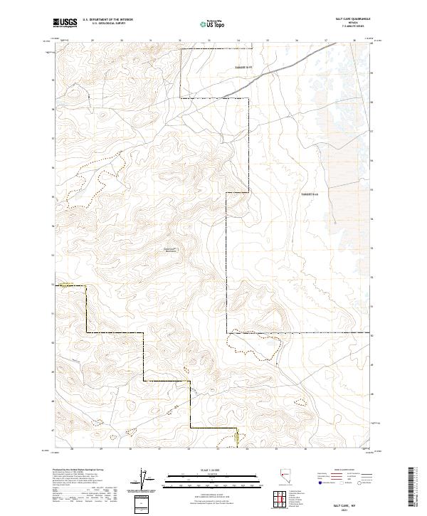
2021 Map of Salt Cave
USGS Topo · Published 2021About this map
The Dead Camel Mountains dominate this high-desert landscape in northern Nevada, where the border between Churchill County and Lyon County cuts through the arid terrain. The topography is defined by intricate contour lines mapping the ridges and drainages of the range, showing the complex physical geography of the Great Basin. Human imprint on this wilderness area is minimal, primarily represented by the passage of Simpson Rd, which traverses the southern portion of the quadrangle. This 2021 survey provides a clear view of the modern land divisions and public land survey system grid, reflecting how the Bureau of Land Management and other agencies manage this undeveloped corridor of the Nevada desert.
Find a feature on this map
4 named features on this map. Tap any name to fly to it.
Don’t see what you’re looking for? This feature index may not catch every label — zoom into the map to look around manually.
Map Details
Editions of this 2021 Salt Cave Map
This is the sole edition of this map. No revisions or reprints were ever made.
Other maps of this area

1891 · Wabuska
USGS Topo · 1:125,000

1894 · Wabuska
USGS Topo · 1:125,000

1908 · Carson Sink
USGS Topo · 1:250,000

1910 · Carson Sink
USGS Topo · 1:250,000

1951 · Weber Reservoir
USGS Topo · 1:62,500

1951 · Fallon
USGS Topo · 1:62,500

1957 · Wabuska
USGS Topo · 1:62,500

1957 · Silver Springs
USGS Topo · 1:62,500

1957 · Reno
USGS Topo · 1:250,000

1959 · Reno
USGS Topo · 1:250,000