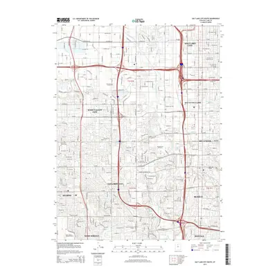
2014 Map of Salt Lake City South
USGS Topo · Published 2014About this map
The Jordan River serves as the central spine for this urbanized corridor, dividing the landscape as it flows north toward the Surplus Canal. In the early 21st century, this area represents a dense network of suburban growth and industrial integration, where West Valley City and Taylorsville meet along the western bank while South Salt Lake and Murray expand to the east. The map captures a sophisticated water management system, tracing the routes of the Big Ditch Canal and N Jordan Canal as they navigate the residential blocks.
Find a feature on this map
61 named features on this map. Tap any name to fly to it.
Don’t see what you’re looking for? This feature index may not catch every label — zoom into the map to look around manually.
Map Details
Editions of this 2014 Salt Lake City South Map
This is the sole edition of this map. No revisions or reprints were ever made.
Other maps of this area

1885 · Salt Lake
USGS Topo · 1:250,000

1885 · Tooele Valley
USGS Topo · 1:250,000

1925 · Ft. Douglas
USGS Topo · 1:125,000

1928 · Ft. Douglas
USGS Topo · 1:125,000

1950 · Fort Douglas
USGS Topo · 1:24,000

1951 · Fort Douglas
USGS Topo · 1:24,000

1951 · Saltair
USGS Topo · 1:24,000

1951 · Salt Lake City South
USGS Topo · 1:24,000

1951 · Midvale
USGS Topo · 1:24,000

1951 · Salt Lake City North
USGS Topo · 1:24,000