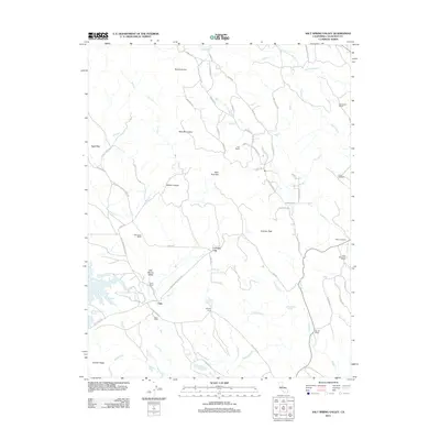
2012 Map of Salt Spring Valley
USGS Topo · Published 2012About this map
Carmen City and the small settlement of Felix anchor this map of the western Sierra Nevada foothills in Calaveras County. The landscape is defined by the Bear Mountains and the dramatic topography of Mount Ararat and Carmen Peak, while the western edge is dominated by the Salt Spring Valley Reservoir. Historically significant family ranching operations are prominent throughout the territory, including Inks Ranch, Bernascon Ranch, and the McCarty Ranch.
Find a feature on this map
64 named features on this map. Tap any name to fly to it.
Don’t see what you’re looking for? This feature index may not catch every label — zoom into the map to look around manually.
Map Details
Editions of this 2012 Salt Spring Valley Map
This is the sole edition of this map. No revisions or reprints were ever made.
Other maps of this area

1889 · Jackson
USGS Topo · 1:125,000

1892 · Jackson
USGS Topo · 1:125,000

1897 · Jackson
USGS Topo · 1:125,000

1902 · Jackson
USGS Topo · 1:125,000

1916 · Bachelor Valley
USGS Topo · 1:31,680

1916 · Copperopolis
USGS Topo · 1:62,500

1942 · Farmington
USGS Topo · 1:62,500

1942 · Copperopolis
USGS Topo · 1:62,500

1944 · Valley Springs
USGS Topo · 1:62,500

1945 · San Andreas
USGS Topo · 1:62,500