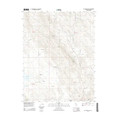
2015 Map of Salt Spring Valley
USGS Topo · Published 2015About this map
Carmen City and the small settlement at Felix sit within a landscape defined by the drainage systems of the Bear Mountains and Gopher Ridge. This 2015 update of the Calaveras County interior reveals a network of ranch roads and mining-era legacy names. The Salt Spring Valley Reservoir dominates the western edge of the quadrangle, serving as a vital water source for the Salt Spring Valley region.
Find a feature on this map
60 named features on this map. Tap any name to fly to it.
Don’t see what you’re looking for? This feature index may not catch every label — zoom into the map to look around manually.
Map Details
Editions of this 2015 Salt Spring Valley Map
This is the sole edition of this map. No revisions or reprints were ever made.
Other maps of this area

1889 · Jackson
USGS Topo · 1:125,000

1892 · Jackson
USGS Topo · 1:125,000

1897 · Jackson
USGS Topo · 1:125,000

1902 · Jackson
USGS Topo · 1:125,000

1916 · Bachelor Valley
USGS Topo · 1:31,680

1916 · Copperopolis
USGS Topo · 1:62,500

1942 · Farmington
USGS Topo · 1:62,500

1942 · Copperopolis
USGS Topo · 1:62,500

1944 · Valley Springs
USGS Topo · 1:62,500

1945 · San Andreas
USGS Topo · 1:62,500