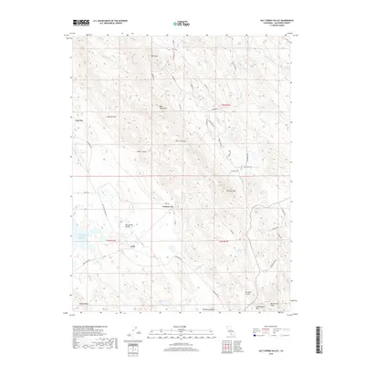
2018 Map of Salt Spring Valley
USGS Topo · Published 2018About this map
Carmen City and the evocative location of Lost City anchor this 2018 survey of the western Sierra Nevada foothills. The landscape is defined by the proximity of high peaks and deep drainage basins, where small settlements like Carmen City are situated among the lower slopes. This survey reflects the modern rural character of the area, where sparse residential development follows old valley roads and historical mining districts. The terrain reveals a complex network of ranch roads and small drainages, illustrating how contemporary land use in this part of the Gold Country remains tied to the underlying topography and historic routes established by early California settlers.
Find a feature on this map
2 named features on this map. Tap any name to fly to it.
Don’t see what you’re looking for? This feature index may not catch every label — zoom into the map to look around manually.
Map Details
Editions of this 2018 Salt Spring Valley Map
This is the sole edition of this map. No revisions or reprints were ever made.
Other maps of this area

1889 · Jackson
USGS Topo · 1:125,000

1892 · Jackson
USGS Topo · 1:125,000

1897 · Jackson
USGS Topo · 1:125,000

1902 · Jackson
USGS Topo · 1:125,000

1916 · Bachelor Valley
USGS Topo · 1:31,680

1916 · Copperopolis
USGS Topo · 1:62,500

1942 · Farmington
USGS Topo · 1:62,500

1942 · Copperopolis
USGS Topo · 1:62,500

1944 · Valley Springs
USGS Topo · 1:62,500

1945 · San Andreas
USGS Topo · 1:62,500