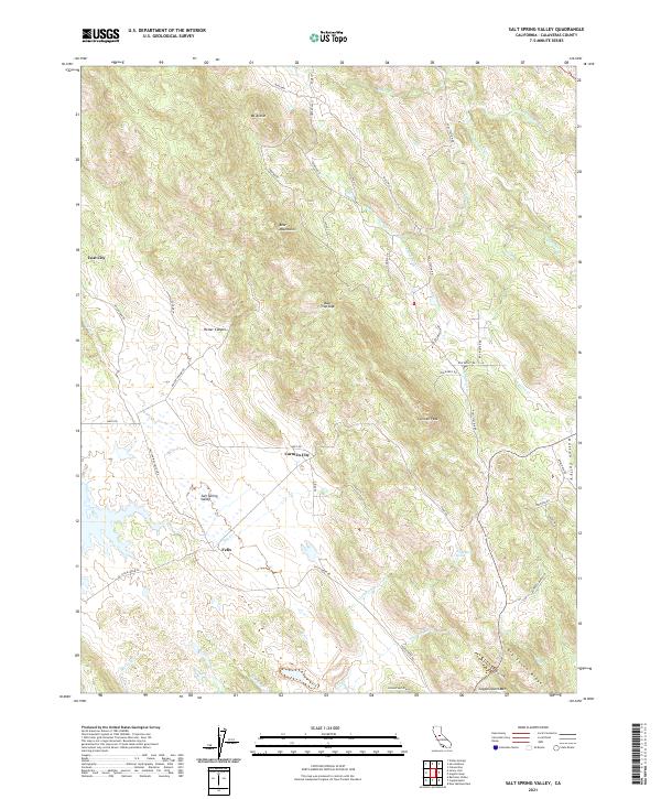
2021 Map of Salt Spring Valley
USGS Topo · Published 2021About this map
Salt Spring Valley and the Nassau Valley define the landscape of this portion of Calaveras County, where cattle ranching and early mining heritage have left a distinctive footprint. The map documents the rural character of the area, punctuated by small settlements like Felix, Carmen City, and the intriguingly named Lost City. These outposts are connected by a network of ranch roads and trails with names that reflect the region's equestrian and frontier history, such as Jaquima Dr, Tapadero St, and Bonanza Mine Way.
Find a feature on this map
56 named features on this map. Tap any name to fly to it.
Don’t see what you’re looking for? This feature index may not catch every label — zoom into the map to look around manually.
Map Details
Editions of this 2021 Salt Spring Valley Map
This is the sole edition of this map. No revisions or reprints were ever made.
Other maps of this area

1889 · Jackson
USGS Topo · 1:125,000

1892 · Jackson
USGS Topo · 1:125,000

1897 · Jackson
USGS Topo · 1:125,000

1902 · Jackson
USGS Topo · 1:125,000

1916 · Bachelor Valley
USGS Topo · 1:31,680

1916 · Copperopolis
USGS Topo · 1:62,500

1942 · Farmington
USGS Topo · 1:62,500

1942 · Copperopolis
USGS Topo · 1:62,500

1944 · Valley Springs
USGS Topo · 1:62,500

1945 · San Andreas
USGS Topo · 1:62,500