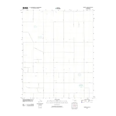
2010 Map of Sampsel Lake
USGS Topo · Published 2010About this map
Sampsel Lake serves as a primary reference point in this corner of Cimarron County, Oklahoma. The landscape is defined by a rigorous section-line road grid, which dictates the layout of the agricultural High Plains. Long-distance routes like E0180 Rd and N0400 Rd crisscross the territory, highlighting the systematic land division that has shaped this region since the early twentieth century. This digital-era survey from the National Map series reflects the modern state of these rural thoroughfares, such as E0240 Rd and N0420 Rd, which connect isolated farms and ranching operations to the wider Oklahoma Panhandle. While primarily focused on contemporary transport, the map preserves the exact positions of natural depressions and ephemeral water bodies that remain essential markers in this semi-arid environment.
Find a feature on this map
22 named features on this map. Tap any name to fly to it.
Don’t see what you’re looking for? This feature index may not catch every label — zoom into the map to look around manually.
Map Details
Editions of this 2010 Sampsel Lake Map
This is the sole edition of this map. No revisions or reprints were ever made.
Other maps of this area

1954 · Dalhart
USGS Topo · 1:250,000

1958 · Dalhart
USGS Topo · 1:250,000

1962 · Dalhart
USGS Topo · 1:250,000

1971 · Griggs SW
USGS Topo · 1:24,000

1971 · Keyes SW
USGS Topo · 1:24,000

1971 · Keyes West
USGS Topo · 1:24,000

1971 · Sampsel Lake
USGS Topo · 1:24,000

1971 · Conrad NW
USGS Topo · 1:24,000

1971 · Keyes East
USGS Topo · 1:24,000

1971 · Griggs NW
USGS Topo · 1:24,000