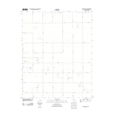
2012 Map of Sampsel Lake
USGS Topo · Published 2012About this map
Sampsel Lake and the high plains of the Oklahoma Panhandle are defined by a rigorous grid of section-line roads in this modern topographic study. The landscape is sparse, reflecting the rural character of Cimarron County where human geography is traced primarily through the extensive network of local routes like E0180 Rd, N0370 Rd, and N0410 Rd. This road system facilitates the movement of agricultural equipment and livestock across the flat terrain. The presence of ephemeral water features and the naming of Sampsel Lake itself suggest the critical importance of water management and natural catchments in this arid region, providing a fundamental look at the infrastructure required to sustain life and industry in one of the most remote corners of the state.
Find a feature on this map
33 named features on this map. Tap any name to fly to it.
Don’t see what you’re looking for? This feature index may not catch every label — zoom into the map to look around manually.
Map Details
Editions of this 2012 Sampsel Lake Map
This is the sole edition of this map. No revisions or reprints were ever made.
Other maps of this area

1954 · Dalhart
USGS Topo · 1:250,000

1958 · Dalhart
USGS Topo · 1:250,000

1962 · Dalhart
USGS Topo · 1:250,000

1971 · Griggs SW
USGS Topo · 1:24,000

1971 · Keyes SW
USGS Topo · 1:24,000

1971 · Keyes West
USGS Topo · 1:24,000

1971 · Sampsel Lake
USGS Topo · 1:24,000

1971 · Conrad NW
USGS Topo · 1:24,000

1971 · Keyes East
USGS Topo · 1:24,000

1971 · Griggs NW
USGS Topo · 1:24,000