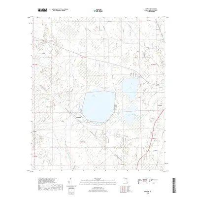
2018 Map of Sampson
USGS Topo · Published 2018About this map
Lake Sampson and its neighboring waters, Lake Crosby and Lake Rowell, define the center of this Bradford County landscape. The settlement of Sampson is situated at the junction of the Sampson River and Alligator Creek, while the western edge of Starke appears on the eastern margin. For genealogists, the map identifies several local burial sites, including Brown Cem, Crosby Lake Cem, Prescott Cem, and Prevatt Cem. The terrain is marked by a complex network of wetlands and small waterways like Gum Creek and McKinney Br, which feed into the primary lakes. The grid of rural roads, such as NW Co Rd 225 and SW 21 St, provides a look at the modern land divisions and access points surrounding these significant Florida water bodies.
Find a feature on this map
85 named features on this map. Tap any name to fly to it.
Don’t see what you’re looking for? This feature index may not catch every label — zoom into the map to look around manually.
Map Details
Editions of this 2018 Sampson Map
This is the sole edition of this map. No revisions or reprints were ever made.
Other maps of this area

1918 · Lawtey
USGS Topo · 1:62,500

1941 · Starke
USGS Topo · 1:62,500

1948 · Starke
USGS Topo · 1:50,000

1949 · Sampson
USGS Topo · 1:24,000

1949 · Starke
USGS Topo · 1:24,000

1949 · Waldo
USGS Topo · 1:24,000
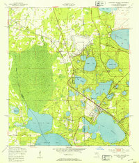
1949 · Keystone Heights
USGS Topo · 1:24,000

1949 · Starke
USGS Topo · 1:62,500

1954 · Gainesville
USGS Topo · 1:250,000

1954 · Valdosta
USGS Topo · 1:250,000