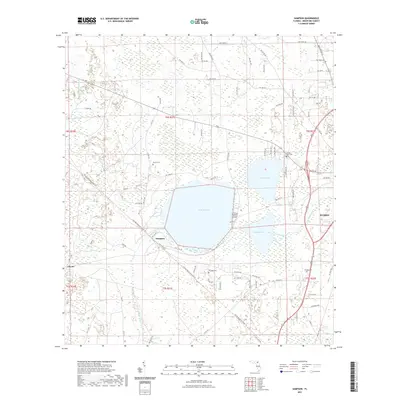
2021 Map of Sampson
USGS Topo · Published 2021About this map
Lake Sampson and its neighbors, Lake Crosby and Lake Rowell, dominate this portion of Bradford County, creating a landscape defined by expansive wetlands and water. The small settlement of Sampson sits at the junction of the Sampson River and the local rail line, serving as a focal point for the surrounding rural area. To the west, the community of Clayno and the winding course of McKinney Br indicate the agricultural and timber-rich character of the Florida interior.
Find a feature on this map
82 named features on this map. Tap any name to fly to it.
Don’t see what you’re looking for? This feature index may not catch every label — zoom into the map to look around manually.
Map Details
Editions of this 2021 Sampson Map
This is the sole edition of this map. No revisions or reprints were ever made.
Other maps of this area

1918 · Lawtey
USGS Topo · 1:62,500

1941 · Starke
USGS Topo · 1:62,500

1948 · Starke
USGS Topo · 1:50,000

1949 · Sampson
USGS Topo · 1:24,000

1949 · Starke
USGS Topo · 1:24,000

1949 · Waldo
USGS Topo · 1:24,000
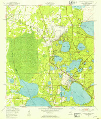
1949 · Keystone Heights
USGS Topo · 1:24,000

1949 · Starke
USGS Topo · 1:62,500

1954 · Gainesville
USGS Topo · 1:250,000

1954 · Valdosta
USGS Topo · 1:250,000