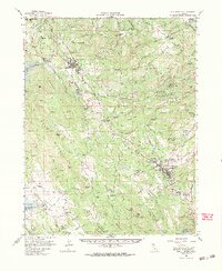
1962 Map of San Andreas
USGS Topo · Published 1964About this map
The Calaveras River watershed and the foothills of the Bear Mountains define this 1964 study of California's Gold Country. The landscape is dense with the remains of hard-rock mining and hydraulic engineering, from the Starlight Mine and Champion Mine to the intricate paths of the O'Neil Ditch and Utica Ditch. Significant infrastructure for the era is visible, including the Southern Pacific rail line serving San Andreas and the newly developing New Hogan Res. Genealogists will find numerous small family-named sites and vanished stops such as Pools Station, Elkhorn Station, and Carmen City. Near Angels Camp, the map documents local culture at Frogtown, while cemeteries like Pioneer Cem provide specific points of interest for local history researchers.
Find a feature on this map
133 named features on this map. Tap any name to fly to it.
Don’t see what you’re looking for? This feature index may not catch every label — zoom into the map to look around manually.
Map Details
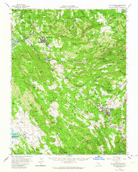
Editions of this 1962 San Andreas Map
2 editions found
Other maps of this area

1889 · Jackson
USGS Topo · 1:125,000

1891 · Big Trees
USGS Topo · 1:125,000

1892 · Jackson
USGS Topo · 1:125,000

1893 · Sonora
USGS Topo · 1:125,000

1894 · Big Trees
USGS Topo · 1:125,000

1896 · Sonora
USGS Topo · 1:125,000

1897 · Jackson
USGS Topo · 1:125,000

1897 · Sonora
USGS Topo · 1:125,000

1897 · Big Trees
USGS Topo · 1:125,000

1898 · Sonora
USGS Topo · 1:125,000