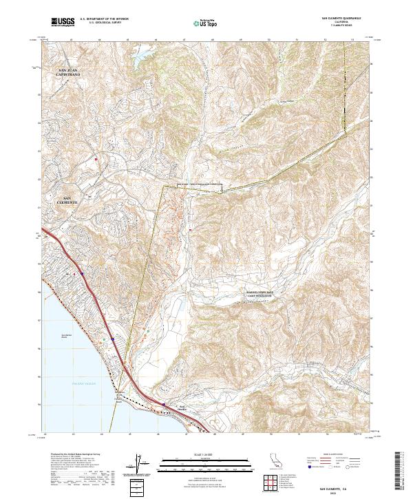
2022 Map of San Clemente
USGS Topo · Published 2022About this map
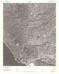
The coastal interface of southern Orange County and northern San Diego County is captured here, centered on the suburban expansion of San Clemente. This modern survey illustrates the complex transition from dense coastal development to the deep, undeveloped drainage systems of the Santa Ana Mountains. Significant geological and coastal features include San Mateo Point and the surf-breaks of Trestles Beach, while the interior is defined by a series of dramatic canyons. Cristianitos Canyon, Talega Canyon, and San Mateo Canyon cut through the landscape, directing drainage toward the Pacific Ocean via San Mateo Cr.
Find a feature on this map
148 named features on this map. Tap any name to fly to it.
Don’t see what you’re looking for? This feature index may not catch every label — zoom into the map to look around manually.
Map Details
Editions of this 2022 San Clemente Map
This is the sole edition of this map. No revisions or reprints were ever made.
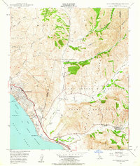
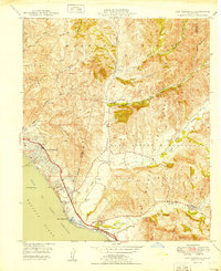
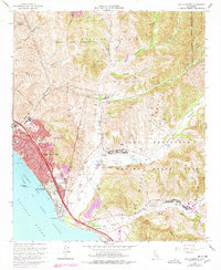
Historical Maps of Marine Corps Base Camp Pendleton Through Time
5 maps found
Featured Locations
- San Diego County, CA
- Marine Corps Base Camp Pendleton, CA
- San Clemente, CA
- San Juan Capistrano, CA
- San Onofre, Marine Corps Base Camp Pendleton