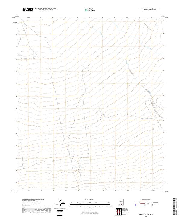
2021 Map of San Ignacio Ranch
USGS Topo · Published 2021About this map
San Ignacio Ranch serves as the primary landmark in this arid portion of Pima County, situated where the high desert terrain begins its gradual descent. The landscape is defined by the shifting drainage patterns of Aguirre Wash and Viopuli Wash, which snake across the quadrangle from the northeast to the southwest. These ephemeral watercourses dictate the local geography, carving paths through the township and range divisions of t14s r8e and t15s r8e. This 2021 survey illustrates the sparse, ranching-oriented land use that persists in the region, with few roads or permanent structures interrupting the natural alluvial fans and desert scrub that characterize this southern Arizona environment.
Find a feature on this map
9 named features on this map. Tap any name to fly to it.
Don’t see what you’re looking for? This feature index may not catch every label — zoom into the map to look around manually.
Map Details
Editions of this 2021 San Ignacio Ranch Map
This is the sole edition of this map. No revisions or reprints were ever made.
Other maps of this area

1934 · Tucson Mountains
USGS Topo · 1:125,000

1934 · Silver Bell
USGS Topo · 1:125,000

1938 · San Vicente
USGS Topo · 1:62,500

1941 · San Vicente
USGS Topo · 1:62,500

1941 · Cocoraque Butte
USGS Topo · 1:62,500

1942 · San Vicente
USGS Topo · 1:62,500

1943 · Cocoraque Butte
USGS Topo · 1:62,500

1948 · San Vicente
USGS Topo · 1:62,500

1956 · Tucson
USGS Topo · 1:250,000

1958 · Tucson
USGS Topo · 1:250,000