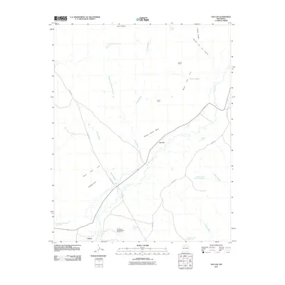
2010 Map of San Luis
USGS Topo · Published 2010About this map
The Rio Puerco carves a deep path through the high desert of Sandoval County, anchoring the small settlements of San Luis and Cabezon. This landscape is defined by its massive plateaus, including Mesa San Luis and Bosque Grande Mesa, which rise sharply from the valley floor. Water management is a central theme of the geography here, evidenced by numerous tanks and catchment features like the Cabezon Community Reservoir and the Rio Puerco Detention Dam Number 65, essential for supporting livestock and small communities in an arid climate.
Find a feature on this map
28 named features on this map. Tap any name to fly to it.
Don’t see what you’re looking for? This feature index may not catch every label — zoom into the map to look around manually.
Map Details
Editions of this 2010 San Luis Map
This is the sole edition of this map. No revisions or reprints were ever made.
Other maps of this area

1883 · Mt. Taylor
USGS Topo · 1:250,000

1886 · Mt. Taylor
USGS Topo · 1:250,000

1890 · Jemes
USGS Topo · 1:125,000

1892 · Jemes
USGS Topo · 1:125,000

1892 · Mt. Taylor
USGS Topo · 1:250,000

1899 · Mt. Taylor
USGS Topo · 1:250,000

1939 · La Ventana
USGS Topo · 1:62,500

1939 · San Ysidro
USGS Topo · 1:62,500

1943 · San Ysidro
USGS Topo · 1:62,500

1943 · La Ventana
USGS Topo · 1:62,500