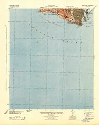
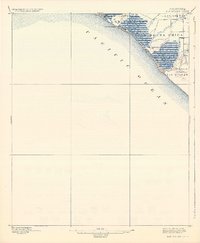
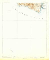
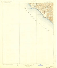
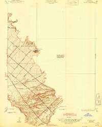
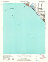
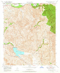
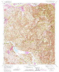
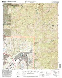
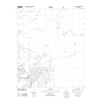
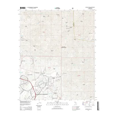
1944 Map of San Pedro
USGS Topo · Published 1944About this map
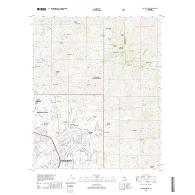
San Pedro dominates this coastal landscape during the Second World War, appearing as a dense urban grid overlooking the vital infrastructure of Los Angeles Harbor. The era's strategic maritime importance is visible through the dual footprints of Fort Mac Arthur Upper Reservation and the Lower Reservation, positioned to guard the entrance to the San Pedro Channel. Along the rugged western coastline, the topography shifts from the city's residential blocks to the cliffs of Portuguese Point and Point Vincente. Notable coastal landmarks such as the Whites Point Hot Springs and the sheltered waters of Abalone Cove illustrate the varied use of the Palos Verdes Peninsula, while the harbor area reveals industrial and naval hubs like Fish Harbor and East San Pedro.
Find a feature on this map
24 named features on this map. Tap any name to fly to it.
Don’t see what you’re looking for? This feature index may not catch every label — zoom into the map to look around manually.
Map Details
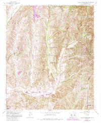
Editions of this 1944 San Pedro Map
This is the sole edition of this map. No revisions or reprints were ever made.
Historical Maps of Los Angeles Through Time
44 maps found
1896 Las Bolsas
Orange County, CA
1896 San Pedro
Orange County, CA
1902 Capistrano
Orange County, CA

1906 Capistrano
Orange County, CA
1935 El Toro
Orange County, CA

1935 Olinda
Orange County, CA
1941 Las Bolsas
Orange County, CA
1942 Santiago Peak
Orange County, CA

1943 Las Bolsas
Orange County, CA
1944 San Pedro
Orange County, CA
1948 Canada Gobernadora
Orange County, CA
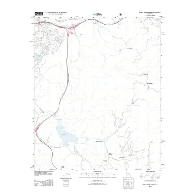
1949 Black Star Canyon
Orange County, CA
1949 Canada Gobernadora
Orange County, CA
1949 El Toro
Orange County, CA

1950 Black Star Canyon
Orange County, CA

1950 El Toro
Orange County, CA
1954 Santiago Peak
Orange County, CA
1967 Black Star Canyon
Orange County, CA
1968 Canada Gobernadora
Orange County, CA
1968 El Toro
Orange County, CA

1974 Black Star Canyon
Orange County, CA

1974 Canada Gobernadora
Orange County, CA

1974 El Toro
Orange County, CA

1974 Santiago Peak
Orange County, CA
1997 Black Star Canyon
Orange County, CA

1997 Canada Gobernadora
Orange County, CA

1997 El Toro
Orange County, CA
1997 Santiago Peak
Orange County, CA
2012 Black Star Canyon
Orange County, CA
2012 Canada Gobernadora
Orange County, CA
2012 Newport Beach OE S
Orange County, CA
2012 Santiago Peak
Orange County, CA
2015 Black Star Canyon
Orange County, CA
2015 Canada Gobernadora
Orange County, CA
2015 Newport Beach OE S
Orange County, CA
2015 Santiago Peak
Orange County, CA
2018 Black Star Canyon
Orange County, CA
2018 Canada Gobernadora
Orange County, CA
2018 Newport Beach OE S
Orange County, CA
2018 Santiago Peak
Orange County, CA
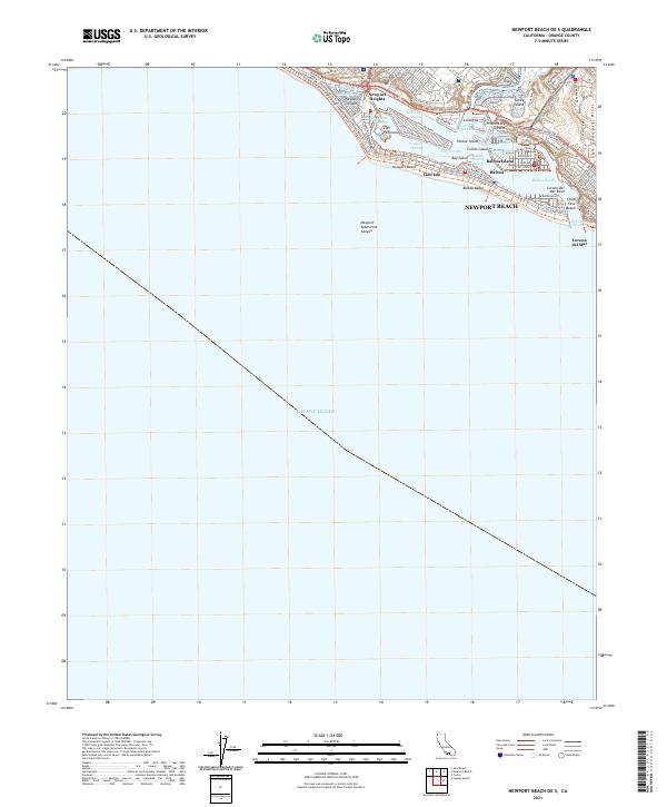
2021 Newport Beach OE S
Orange County, CA
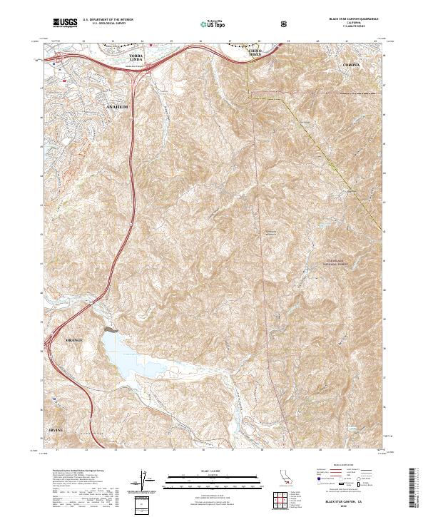
2022 Black Star Canyon
Orange County, CA
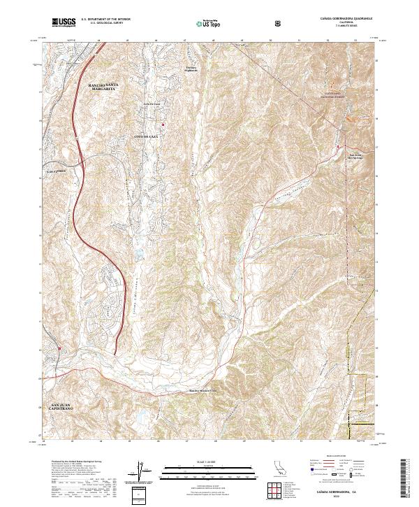
2022 Canada Gobernadora
Orange County, CA
2022 Santiago Peak
Orange County, CA
Featured Locations
- Rancho Palos Verdes, CA
- La Rambla, CA
- Rolling Hills, CA
- Los Angeles, CA
- Portuguese Bend, Rancho Palos Verdes