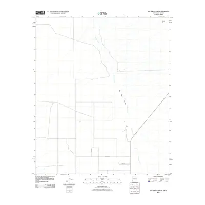
2010 Map of San Simon Cienega
USGS Topo · Published 2010About this map
San Simon Cienega dominates this high-desert landscape in the Peloncillo Mountains foothills, marking a rare and vital wetland environment along the San Simon River. This 2010 survey illustrates the remote borderlands of Cochise County, where the desert hydrology creates a distinct corridor of moisture within the arid basin. Cienega Ranch sits as the primary local landmark near the junction of County Rd C064 and Swift Trl, reflecting the area's long-standing ranching history. To the north, the presence of Flourite Pits indicates the region's mineral extraction efforts. A sparse network of roads, including Community Rd and Hivers Rd, provides the only access through this riparian zone, which serves as an important ecological marker for the San Simon Valley.
Find a feature on this map
9 named features on this map. Tap any name to fly to it.
Don’t see what you’re looking for? This feature index may not catch every label — zoom into the map to look around manually.
Map Details
Editions of this 2010 San Simon Cienega Map
This is the sole edition of this map. No revisions or reprints were ever made.
Other maps of this area

1917 · San Simon
USGS Topo · 1:125,000

1917 · Chiricahua
USGS Topo · 1:125,000

1918 · Pratt
USGS Topo · 1:62,500

1919 · Pratt
USGS Topo · 1:62,500

1919 · Chiricahua
USGS Topo · 1:125,000

1926 · Rodeo
USGS Topo · 1:62,500

1928 · Chenoweth
USGS Topo · 1:62,500

1950 · Vanar
USGS Topo · 1:62,500

1951 · Vanar
USGS Topo · 1:62,500

1954 · Silver City
USGS Topo · 1:250,000