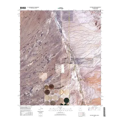
2017 Map of San Simon Cienega
USGS Topo · Published 2017About this map
The San Simon Cienega wetland complex sits at the heart of this high-desert landscape on the border of Arizona and New Mexico. The San Simon River winds through the broad San Simon Valley, creating a vital riparian corridor between the arid reaches of Cochise and Hidalgo counties. To the northeast, the terrain rises into the foothills of the Peloncillo Mountains, where the elevation lines tighten to define the local topography. This 2017 survey shows a region defined by large-scale land divisions and a sparse network of rural routes, such as Community Rd and Swift Trl. The intersection of state lines and varied desert ecosystems makes this an important record of the hydrologic features and remote ranching access roads that characterize the borderlands.
Find a feature on this map
18 named features on this map. Tap any name to fly to it.
Don’t see what you’re looking for? This feature index may not catch every label — zoom into the map to look around manually.
Map Details
Editions of this 2017 San Simon Cienega Map
This is the sole edition of this map. No revisions or reprints were ever made.
Other maps of this area

1917 · San Simon
USGS Topo · 1:125,000

1917 · Chiricahua
USGS Topo · 1:125,000

1918 · Pratt
USGS Topo · 1:62,500

1919 · Pratt
USGS Topo · 1:62,500

1919 · Chiricahua
USGS Topo · 1:125,000

1926 · Rodeo
USGS Topo · 1:62,500

1928 · Chenoweth
USGS Topo · 1:62,500

1950 · Vanar
USGS Topo · 1:62,500

1951 · Vanar
USGS Topo · 1:62,500

1954 · Silver City
USGS Topo · 1:250,000