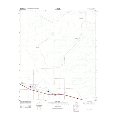
2021 Map of San Simon
USGS Topo · Published 2021About this map
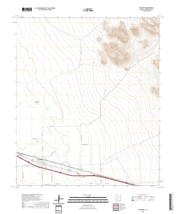
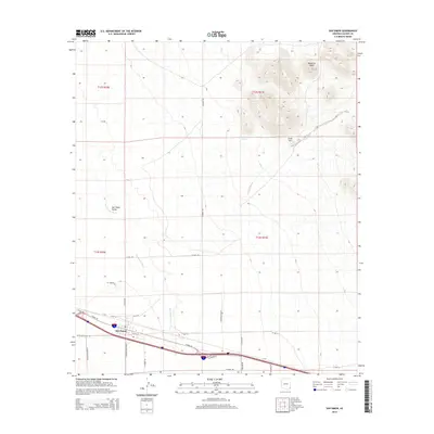
San Simon sits at the southern edge of this Cochise County landscape, where the developed corridor of 1st St and 6th St meets the open terrain of the San Simon Valley. This modern survey illustrates how infrastructure follows the path of the ephemeral San Simon River, which cuts diagonally across the basin. To the northeast, the topography rises sharply into the Peloncillo Mountains, anchored by McKenzie Peak and Gold Hill. The map detail shows a transition from the structured residential grid of San Simon to the expansive ranching and desert lands characterized by isolated water sources like Hat Top Tank. Researchers can trace the network of rural routes such as Kennedy Rd and Indian Springs Rd as they move away from the Interstate corridor toward the high desert peaks.
Find a feature on this map
38 named features on this map. Tap any name to fly to it.
Don’t see what you’re looking for? This feature index may not catch every label — zoom into the map to look around manually.
Map Details
Editions of this 2021 San Simon Map
This is the sole edition of this map. No revisions or reprints were ever made.
Historical Maps of San Simon Through Time
10 maps found
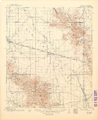
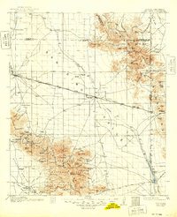
1917 San Simon
Cochise County, AZ
1950 San Simon
Cochise County, AZ
1951 San Simon
Cochise County, AZ
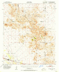
1962 San Simon
Cochise County, AZ
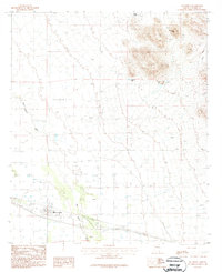
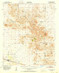
1987 San Simon
Cochise County, AZ
1998 San Simon
Cochise County, AZ
2011 San Simon
Cochise County, AZ
2014 San Simon
Cochise County, AZ
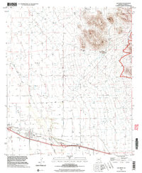
2018 San Simon
Cochise County, AZ
2021 San Simon
Cochise County, AZ