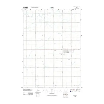
2010 Map of Sanborn
USGS Topo · Published 2010About this map
Sanborn serves as the primary hub of this O'Brien County landscape, centered at the intersection of a rigid section-line road grid. The town's civic structure is marked by the Sanborn Post Office and local burial grounds including Roseland Cemetery and Saint Cecilia Cemetery. This 2010 survey illustrates a quintessential Iowa agricultural pattern where small farmsteads are connected by a web of named thoroughfares like Oriole Ave, Pierce Ave, and Redwood Ave.
Find a feature on this map
26 named features on this map. Tap any name to fly to it.
Don’t see what you’re looking for? This feature index may not catch every label — zoom into the map to look around manually.
Map Details
Editions of this 2010 Sanborn Map
This is the sole edition of this map. No revisions or reprints were ever made.
Other maps of this area

1954 · Fairmont
USGS Topo · 1:250,000

1958 · Fairmont
USGS Topo · 1:250,000

1964 · Sheldon SE
USGS Topo · 1:24,000

1964 · Sheldon
USGS Topo · 1:24,000

1964 · Primghar
USGS Topo · 1:24,000

1964 · Plessis
USGS Topo · 1:24,000

1964 · Gaza
USGS Topo · 1:24,000

1964 · Sanborn
USGS Topo · 1:24,000

1972 · Ashton
USGS Topo · 1:24,000

1972 · Cloverdale
USGS Topo · 1:24,000