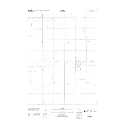
2013 Map of Sanborn
USGS Topo · Published 2013About this map
Sanborn sits as the central hub of this O'Brien County landscape, defined by a rigid grid of agricultural section lines and small prairie tributaries. The town's residential footprint is framed by Walker St and Brady St, with local routes like Lovers Ln extending south into the surrounding farmland. The hydrology of the region is characterized by the meandering Floyd River to the northeast and the S Br Little Floyd River cutting across the southern sections. These waterways, along with Engels Cr and Sweeney Cr, drain the gentle terrain between long-established north-south corridors such as Oriole Ave and Roosevelt Ave. The map illustrates the 21st-century persistence of the classic Iowan township structure, where precise road intervals organize the rural economy and connect the community to the broader drainage basins of Mill Cr.
Find a feature on this map
34 named features on this map. Tap any name to fly to it.
Don’t see what you’re looking for? This feature index may not catch every label — zoom into the map to look around manually.
Map Details
Editions of this 2013 Sanborn Map
This is the sole edition of this map. No revisions or reprints were ever made.
Other maps of this area

1954 · Fairmont
USGS Topo · 1:250,000

1958 · Fairmont
USGS Topo · 1:250,000

1964 · Sheldon SE
USGS Topo · 1:24,000

1964 · Sheldon
USGS Topo · 1:24,000

1964 · Primghar
USGS Topo · 1:24,000

1964 · Plessis
USGS Topo · 1:24,000

1964 · Gaza
USGS Topo · 1:24,000

1964 · Sanborn
USGS Topo · 1:24,000

1972 · Ashton
USGS Topo · 1:24,000

1972 · Cloverdale
USGS Topo · 1:24,000