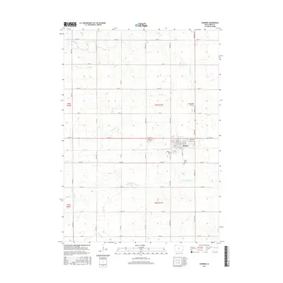
2015 Map of Sanborn
USGS Topo · Published 2015About this map
Sanborn sits as the primary settlement on this western Iowa landscape, situated along the eastern edge of the Coteau des Prairies upland. The town's grid is clearly defined, with streets like Main St and Sibley St forming the community core. To the north and south, the drainage patterns of the Floyd River and the S Br Little Floyd River dictate the topography, as these water bodies cut through the agricultural sections of O'Brien County. Genealogists will find the locations of Roseland Cem to the northwest and Saint Cecilia Cem to the southeast, providing valuable anchors for local family history research. The map also documents the intricate network of rural roads, including Co RD b14 and Redwood Ave, which connect the dispersed farmsteads across the township lines.
Find a feature on this map
47 named features on this map. Tap any name to fly to it.
Don’t see what you’re looking for? This feature index may not catch every label — zoom into the map to look around manually.
Map Details
Editions of this 2015 Sanborn Map
This is the sole edition of this map. No revisions or reprints were ever made.
Other maps of this area

1954 · Fairmont
USGS Topo · 1:250,000

1958 · Fairmont
USGS Topo · 1:250,000

1964 · Sheldon SE
USGS Topo · 1:24,000

1964 · Sheldon
USGS Topo · 1:24,000

1964 · Primghar
USGS Topo · 1:24,000

1964 · Plessis
USGS Topo · 1:24,000

1964 · Gaza
USGS Topo · 1:24,000

1964 · Sanborn
USGS Topo · 1:24,000

1972 · Ashton
USGS Topo · 1:24,000

1972 · Cloverdale
USGS Topo · 1:24,000