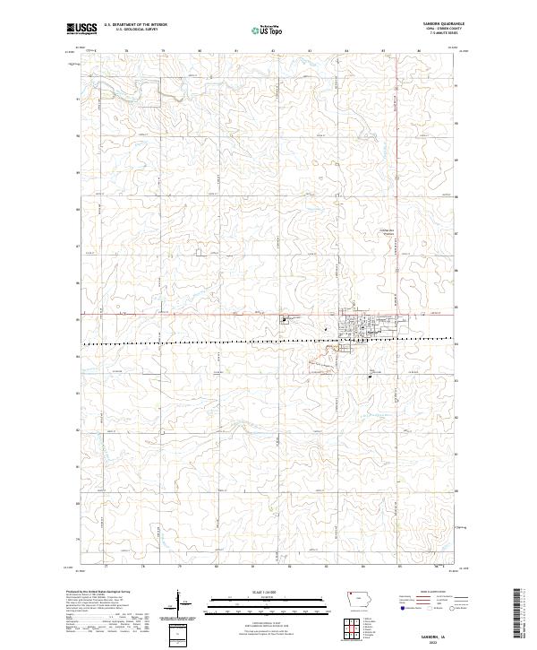
2022 Map of Sanborn
USGS Topo · Published 2022About this map
The town of Sanborn serves as the focal point of this O’Brien County landscape, situated where the high plains of the Coteau des Prairies begin to influence the drainage of Northwest Iowa. The settlement pattern is defined by a rigorous section-line road grid, including Oriole Ave and Roosevelt Ave, which segment the rich agricultural territory. Waterways such as the Floyd River and Sweeney Cr wind through these farmstead blocks, eventually feeding into larger systems like the S Br Little Floyd River. Local history is anchored by sites such as Roseland Cem and Saint Cecilia Cem, located just outside the main residential blocks. Within the town limits, a detailed street plan includes Walker St and Main St, while the Miller Park Complex Trl provides a modern recreational footprint for the community.
Find a feature on this map
47 named features on this map. Tap any name to fly to it.
Don’t see what you’re looking for? This feature index may not catch every label — zoom into the map to look around manually.
Map Details
Editions of this 2022 Sanborn Map
This is the sole edition of this map. No revisions or reprints were ever made.
Other maps of this area

1954 · Fairmont
USGS Topo · 1:250,000

1958 · Fairmont
USGS Topo · 1:250,000

1964 · Sheldon SE
USGS Topo · 1:24,000

1964 · Sheldon
USGS Topo · 1:24,000

1964 · Primghar
USGS Topo · 1:24,000

1964 · Plessis
USGS Topo · 1:24,000

1964 · Gaza
USGS Topo · 1:24,000

1964 · Sanborn
USGS Topo · 1:24,000

1972 · Ashton
USGS Topo · 1:24,000

1972 · Cloverdale
USGS Topo · 1:24,000