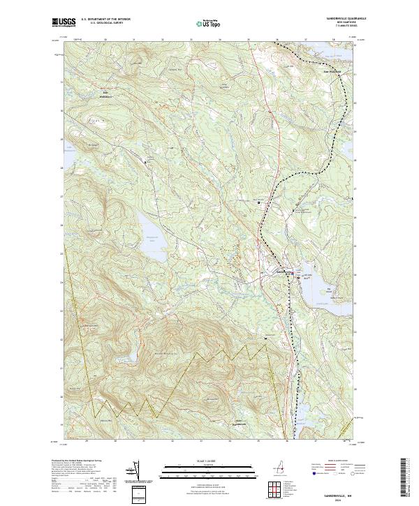
2024 Map of Sanbornville
USGS Topo · Published 2024About this map
The Moose Mountains define the southern landscape of this Carroll County region, where high peaks like Copple Crown Mtn and Rand Mtn rise above the drainage of Horn Brook. Centered on the village of Sanbornville, the map details a community deeply tied to its water bodies, including Lovell Lake and Kingswood Lake. The settlement pattern follows the local topography, with roads winding between Clows Hill and Mt Delight.
Find a feature on this map
123 named features on this map. Tap any name to fly to it.
Don’t see what you’re looking for? This feature index may not catch every label — zoom into the map to look around manually.
Map Details
Editions of this 2024 Sanbornville Map
This is the sole edition of this map. No revisions or reprints were ever made.
Other maps of this area

1891 · Berwick
USGS Topo · 1:62,500

1891 · Newfield
USGS Topo · 1:62,500

1893 · Berwick
USGS Topo · 1:62,500

1893 · Newfield
USGS Topo · 1:62,500

1919 · Alton
USGS Topo · 1:62,500

1928 · Wolfeboro
USGS Topo · 1:62,500

1933 · Berwick
USGS Topo · 1:48,000

1933 · Newfield
USGS Topo · 1:48,000

1937 · Newfield
USGS Topo · 1:62,500

1937 · Berwick
USGS Topo · 1:62,500