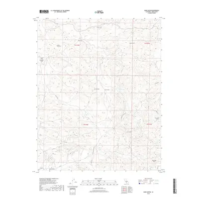
2018 Map of Sand Canyon
USGS Topo · Published 2018About this map
Sand Canyon marks a significant transitional landscape in Kern County, where the eastern edge of the Central Valley San Joaquin Valley meets the rising elevations of the Sierra Nevada. This topographic study reveals a complex network of seasonal drainages and canyons that define the local geography, including Horse Canyon and the evocatively named Locked Gate Gulch. The transport network is anchored by the Bakersfield-Glennville Rd and Woody Rd, which navigate the undulating terrain to connect disparate points in this ranching and grazing country. Water remains a central theme for the region's history, represented by reliable landmarks like Willow Spring and various ephemeral courses such as Five Dog Cr and Dead Ox Creek. The map provides a clear look at the Public Land Survey System divisions, particularly the intersection of Townships 25 and 26 South.
Find a feature on this map
26 named features on this map. Tap any name to fly to it.
Don’t see what you’re looking for? This feature index may not catch every label — zoom into the map to look around manually.
Map Details
Editions of this 2018 Sand Canyon Map
This is the sole edition of this map. No revisions or reprints were ever made.
Other maps of this area

1906 · Bakersfield
USGS Topo · 1:62,500

1926 · Quincy School
USGS Topo · 1:31,680

1929 · Richgrove
USGS Topo · 1:31,680

1929 · Quincy School
USGS Topo · 1:31,680

1931 · Deepwell Ranch
USGS Topo · 1:31,680

1932 · North of Oildale
USGS Topo · 1:31,680

1932 · Woody
USGS Topo · 1:62,500

1935 · Woody
USGS Topo · 1:62,500

1936 · White River
USGS Topo · 1:62,500
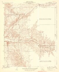
1936 · North of Oildale
USGS Topo · 1:31,680