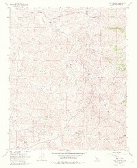
1965 Map of Sand Canyon
USGS Topo · Published 1982About this map
The Mount Poso Oil Field dominates the southern landscape of this mid-1960s survey, reflecting the intensive resource extraction that shaped this region of Kern County. A network of unimproved roads and fence lines crisscrosses the hills, connecting remote outposts like the Villard Ranch and Horseshoe Ranch. The terrain is defined by a complex system of drainage, where Little Poso Creek and Five-Dog Creek cut through the arid uplands toward the San Joaquin Valley. Along the Garces Highway, evidence of early settlement and utility appears in the form of isolated Cem markers, water tanks, and a small Prospect, indicating the sparse but persistent human presence in these canyons. The map also identifies numerous seasonal water sources such as Willow Spring and Carver Spring, which were vital for the ranching operations established in the area's deep gulches and canyons.
Find a feature on this map
28 named features on this map. Tap any name to fly to it.
Don’t see what you’re looking for? This feature index may not catch every label — zoom into the map to look around manually.
Map Details
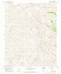
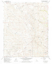
Editions of this 1965 Sand Canyon Map
3 editions found
Other maps of this area

1906 · Bakersfield
USGS Topo · 1:62,500

1926 · Quincy School
USGS Topo · 1:31,680

1929 · Richgrove
USGS Topo · 1:31,680

1929 · Quincy School
USGS Topo · 1:31,680

1931 · Deepwell Ranch
USGS Topo · 1:31,680

1932 · North of Oildale
USGS Topo · 1:31,680

1932 · Woody
USGS Topo · 1:62,500

1935 · Woody
USGS Topo · 1:62,500

1936 · White River
USGS Topo · 1:62,500
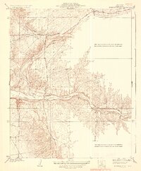
1936 · North of Oildale
USGS Topo · 1:31,680