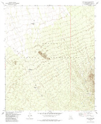
1979 Map of Sand Wells
USGS Topo · Published 1985About this map
Papago Indian Reservation land defines this corner of Pima County, where the desert floor meets the rising peaks of the North Comobabi Mountains. In the late 1970s, life in this arid landscape centered on vital water sources like Sand Wells, Standing Bar Tank, and Black Mtn Well. The terrain is marked by ephemeral drainages such as Ko Vaya Wash and isolated elevations including Black Mountain. Human presence is evidenced by small settlements like Lorenzo, scattered corrals, and a prospect located near the eastern mountain slopes. This map documents a period when access was largely provided by a network of unimproved tracks and a Jeep Trail, reflecting the enduring character of this remote Tohono O'odham territory before modernization altered the traditional water-management landscape.
Find a feature on this map
15 named features on this map. Tap any name to fly to it.
Don’t see what you’re looking for? This feature index may not catch every label — zoom into the map to look around manually.
Map Details
Editions of this 1979 Sand Wells Map
2 editions found
Other maps of this area

1934 · Silver Bell
USGS Topo · 1:125,000

1937 · Comobabi
USGS Topo · 1:48,000

1942 · Comobabi
USGS Topo · 1:62,500

1953 · Ajo
USGS Topo · 1:250,000

1956 · Tucson
USGS Topo · 1:250,000

1957 · Ajo
USGS Topo · 1:250,000

1958 · Ajo
USGS Topo · 1:250,000

1958 · Tucson
USGS Topo · 1:250,000

1959 · Tucson
USGS Topo · 1:250,000

1962 · Ajo
USGS Topo · 1:250,000