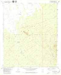
1979 Map of Sand Wells
USGS Topo · Published 1979About this map
The Papago Indian Reservation dominates this 1970s landscape, illustrating the critical role of water management in the Sonoran Desert. The map reveals a network of vital water sources including Standing Bar Tank, Pad Wo'o Tank, and several wells like Black Mtn Well that supported life and livestock in this arid environment. The terrain is defined by the prominent Black Mountain and the eastern edge of the North Comobabi Mts, with the ephemeral Ko Vaya Wash cutting through the desert floor. Small settlements such as Sand Wells and Lorenzo are situated at the mountain base, while a single prospect and a Corral suggest the localized ranching and mining activities of the period. This topographic survey serves as a precise record of human habitation and infrastructure within the reservation before many modern developments.
Find a feature on this map
15 named features on this map. Tap any name to fly to it.
Don’t see what you’re looking for? This feature index may not catch every label — zoom into the map to look around manually.
Map Details
Editions of this 1979 Sand Wells Map
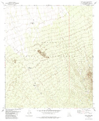
2 editions found
Other maps of this area

1934 · Silver Bell
USGS Topo · 1:125,000

1937 · Comobabi
USGS Topo · 1:48,000

1942 · Comobabi
USGS Topo · 1:62,500

1953 · Ajo
USGS Topo · 1:250,000

1956 · Tucson
USGS Topo · 1:250,000

1957 · Ajo
USGS Topo · 1:250,000

1958 · Ajo
USGS Topo · 1:250,000

1958 · Tucson
USGS Topo · 1:250,000

1959 · Tucson
USGS Topo · 1:250,000

1962 · Ajo
USGS Topo · 1:250,000