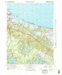
1972 Map of Sandwich
USGS Topo · Published 1978About this map
Sandy Neck and the expansive Great Marshes dominate the coastal interface of this Cape Cod landscape, where the Cape Cod Canal enters Cape Cod Bay. The inland terrain is a dense network of freshwater bodies including Wakeby Pond, Mashpee Pond, and Lawrence Pond, interspersed with numerous Cranberry Bogs that speak to the region's agricultural heritage. Transportation corridors like the Penn Central railroad and the Mid-Cape Highway cut through the glacial hills, connecting established settlements such as Sandwich and East Sandwich. Local history is preserved in sites like the Old Quaker Meetinghouse and West Parish Ch, while the southern portion of the map is defined by the significant military footprint of Otis Air Force Base and the conservation lands of the Lowell Holly Reservation.
Find a feature on this map
72 named features on this map. Tap any name to fly to it.
Don’t see what you’re looking for? This feature index may not catch every label — zoom into the map to look around manually.
Map Details
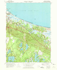
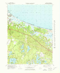
Editions of this 1972 Sandwich Map
3 editions found
Other maps of this area

1886 · Falmouth
USGS Topo · 1:62,500

1886 · Plymouth
USGS Topo · 1:62,500

1888 · Barnstable
USGS Topo · 1:62,500

1888 · Falmouth
USGS Topo · 1:62,500

1889 · Plymouth
USGS Topo · 1:62,500

1893 · Barnstable
USGS Topo · 1:62,500

1893 · Falmouth
USGS Topo · 1:62,500

1894 · Plymouth
USGS Topo · 1:62,500

1915 · Falmouth
USGS Topo · 1:62,500

1920 · Falmouth
USGS Topo · 1:62,500