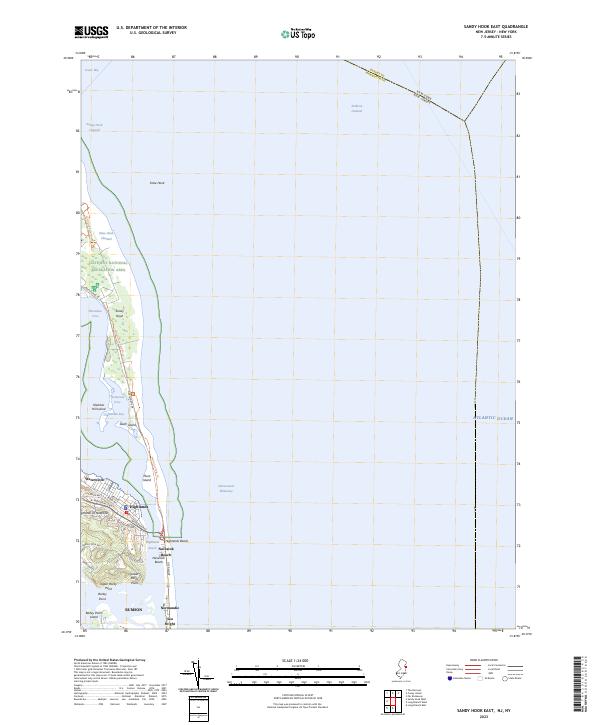
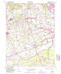
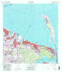
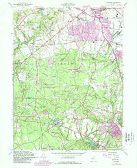
2023 Map of Sandy Hook East
USGS Topo · Published 2023About this map
Gateway National Recreation Area dominates this coastal landscape, protecting the shifting sands of the Sandy Hook peninsula. This survey documents the critical maritime gateway where the Lower Bay meets the Atlantic Ocean, marked by complex navigation channels like Ambrose Channel and Sandy Hook Channel. On the mainland, the elevation rises sharply at the Highlands of Navesink, overlooking the Intracoastal Waterway and the narrow barrier beach communities. The settlement pattern follows the shoreline, from the residential streets of Highlands and Waterwitch to the dense oceanfront developments at Navesink Beach and Sea Bright. Further inland, the geography transitions into the fingers of land along the river, including Barley Point and the established borough of Rumson. The map captures the distinct tension between the preserved natural environments of Spermaceti Cove and Skeleton Hill Island and the adjacent bustling coastal infrastructure.
Find a feature on this map
42 named features on this map. Tap any name to fly to it.
Don’t see what you’re looking for? This feature index may not catch every label — zoom into the map to look around manually.
Map Details
Editions of this 2023 Sandy Hook East Map
This is the sole edition of this map. No revisions or reprints were ever made.
Historical Maps of Navesink Beach Through Time
25 maps found

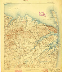
1888 Sandy Hook
Monmouth County, NJ
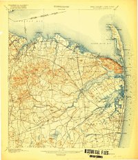
1893 Sandy Hook
Monmouth County, NJ
1901 Sandy Hook
Monmouth County, NJ

1918 Sandy Hook
Monmouth County, NJ

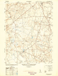
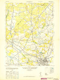
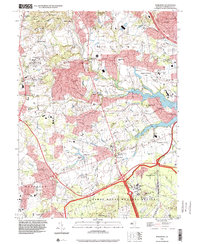
1944 Jersey Homesteads
Monmouth County, NJ
1947 Adelphia
Monmouth County, NJ
1947 Freehold
Monmouth County, NJ
1947 Marlboro
Monmouth County, NJ
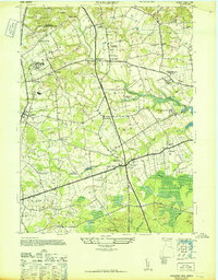
1947 Sandy Hook
Monmouth County, NJ
1947 Sandy Hook
Monmouth County, NJ

1953 Freehold
Monmouth County, NJ
1954 Marlboro
Monmouth County, NJ
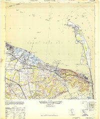
1954 Sandy Hook
Monmouth County, NJ
1957 Adelphia
Monmouth County, NJ
1958 Marlboro
Monmouth County, NJ
1995 Marlboro
Monmouth County, NJ
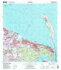
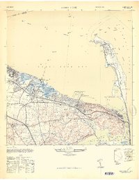
1998 Sandy Hook
Monmouth County, NJ
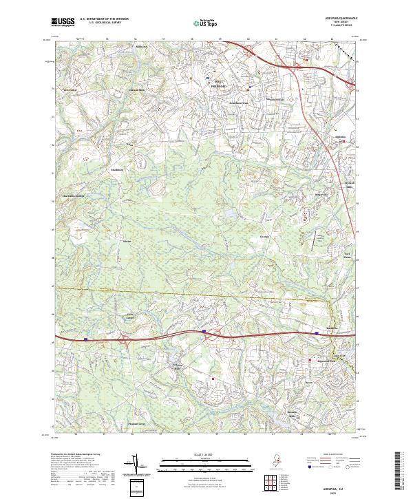
2023 Adelphia
Monmouth County, NJ
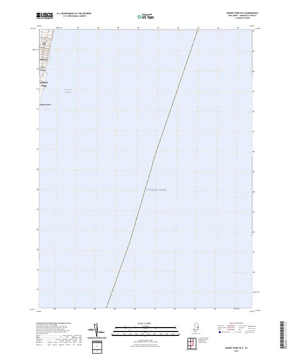
2023 Asbury Park OE E
Monmouth County, NJ
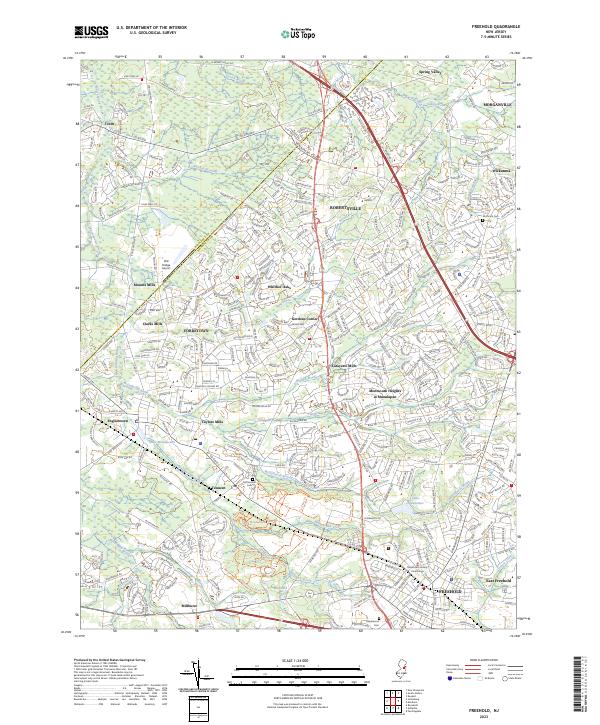
2023 Freehold
Monmouth County, NJ
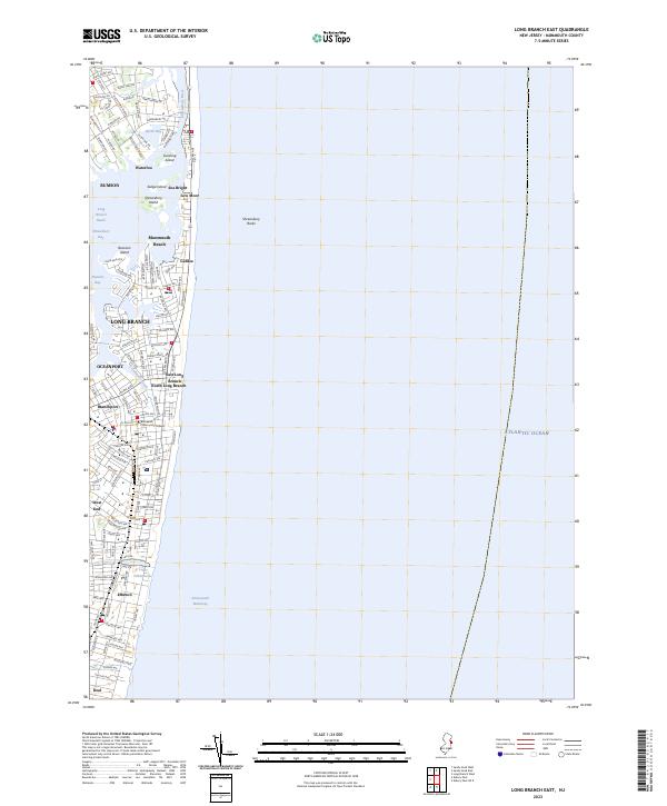
2023 Long Branch East
Monmouth County, NJ
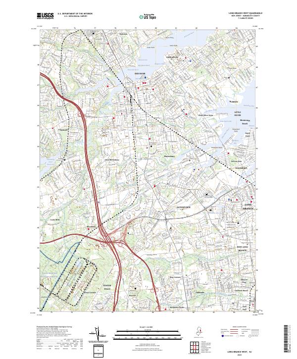
2023 Long Branch West
Monmouth County, NJ
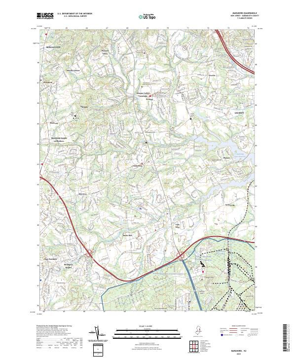
2023 Marlboro
Monmouth County, NJ
2023 Sandy Hook East
Monmouth County, NJ

2023 Sandy Hook West
Monmouth County, NJ